Area Overview for SO22 6AG
Photos of SO22 6AG
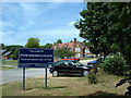
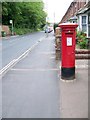
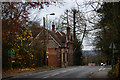
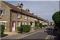

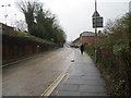
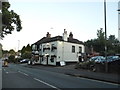
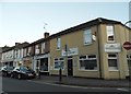
95 photos from this area
Area Information
Key information about the SO22 6AG including its size, population, and administrative classification.
- Area Type
- Postcode
- Area Size
- 3601 m²
- Population
- 1814
- Population Density
- 4198 people/km²
House Prices in SO22 6AG
7
Properties
£478,400
Average Sold Price
£76,000
Lowest Price
£913,000
Highest Price
Showing 7 properties
| Address | Type | Beds | Baths | Last Sale Price | Last Sale Date | |
|---|---|---|---|---|---|---|
| 62 Andover Road, Winchester, SO22 6AG | Semi-detached | 4 | 3 | £913,000 | Nov 2023 | |
| 58 Andover Road, Winchester, SO22 6AG | Semi-detached | 4 | 2 | £625,000 | Jan 2023 | |
| St Mary's, 56 Andover Road, Winchester, SO22 6AG | house | - | - | £575,000 | Oct 2015 | |
| 74A Andover Road, Winchester, SO22 6AG | Semi-detached | 3 | 2 | £203,000 | Jun 2005 | |
| 60 Andover Road, Winchester, SO22 6AG | Flat | 2 | 1 | £76,000 | Mar 1996 | |
| 74 Andover Road, Winchester, SO22 6AG | house | 5 | 5 | - | - | |
| Site Huts At, Harestock Wastewater Treatment Works, Andover Road, Winchester, SO22 6AG | Industrial | - | - | - | - |
Energy Efficiency in SO22 6AG
Amenities
Schools
| Rank | School | Type | Entry gender | Ages |
|---|
Explore more schools in this area
Go to Schools tabDemographics
Household Size
One person
most common
Accommodation Type
Houses
most common
Tenure
56
majority
Ethnic Group
White
most common
Religion
N/A
most common
Household Composition
N/A
most common
Age
47
median
Adults (30-64 years)
most common
Household Deprivation
N/A
with no deprivation
NS-SEC
57
in Lower managerial occupations
Explore more demographic insights in this area
Go to Demographics tabPlanning
Planning Constraints
- Flood RiskPremium
- Ramsar Wetland SitesPremium
- Area of Outstanding Natural BeautyPremium
- Protected Nature ReservePremium
- Protected WoodlandPremium