Area Overview for SO22 5HP
Photos of SO22 5HP
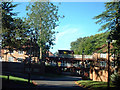
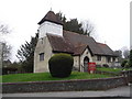
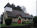
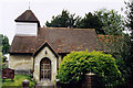
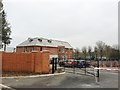
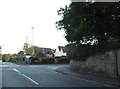
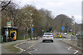
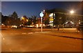
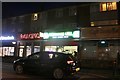
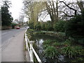
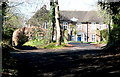
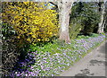
43 photos from this area
Area Information
Key information about the SO22 5HP including its size, population, and administrative classification.
- Area Type
- Postcode
- Area Size
- 4.0 hectares
- Population
- 2503
- Population Density
- 1478 people/km²
House Prices in SO22 5HP
13
Properties
£1,311,714
Average Sold Price
£212,000
Lowest Price
£2,750,000
Highest Price
Showing 13 properties
| Address | Type | Beds | Baths | Last Sale Price | Last Sale Date | |
|---|---|---|---|---|---|---|
| Warley, Links Road, Winchester, SO22 5HP | house | - | - | £2,125,000 | Sep 2023 | |
| Northington, Links Road, Winchester, SO22 5HP | house | - | - | £2,750,000 | Mar 2023 | |
| Sanders, Links Road, Winchester, SO22 5HP | house | - | - | £2,610,000 | Dec 2020 | |
| Yew Tree Cottage, Links Road, Winchester, SO22 5HP | Detached | - | - | £780,000 | Apr 2004 | |
| The Garden House, Links Road, Winchester, SO22 5HP | Detached | - | - | £270,000 | Jan 1999 | |
| 4 Links Road, Winchester, SO22 5HP | Detached | - | - | £212,000 | Nov 1996 | |
| Culduthel House, Links Road, Winchester, SO22 5HP | house | - | - | £435,000 | Feb 1995 | |
| The Bungalow, Rotherly, Links Road, Winchester, SO22 5HP | undefined | - | - | - | - | |
| Rotherly, Links Road, Winchester, SO22 5HP | Detached | 8 | 3 | - | - | |
| Rotherly Cottage, Links Road, Winchester, SO22 5HP | Detached | - | - | - | - |
Page 1 of 2
Energy Efficiency in SO22 5HP
Amenities
Schools
| Rank | School | Type | Entry gender | Ages |
|---|
Explore more schools in this area
Go to Schools tabDemographics
Household Size
Family (3-5 people)
most common
Accommodation Type
Houses
most common
Tenure
70
majority
Ethnic Group
White
most common
Religion
N/A
most common
Household Composition
N/A
most common
Age
22
median
Young Adults (15-29 years)
most common
Household Deprivation
N/A
with no deprivation
NS-SEC
39
in Lower managerial occupations
Explore more demographic insights in this area
Go to Demographics tabPlanning
Planning Constraints
- Flood RiskPremium
- Ramsar Wetland SitesPremium
- Area of Outstanding Natural BeautyPremium
- Protected Nature ReservePremium
- Protected WoodlandPremium