Area Overview for SO21 1FW
Photos of SO21 1FW
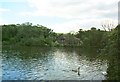


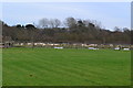
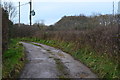
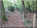
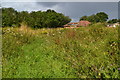
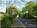
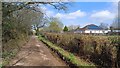


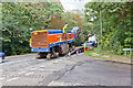
35 photos from this area
Area Information
Key information about the SO21 1FW including its size, population, and administrative classification.
- Area Type
- Postcode
- Area Size
- 7.8 hectares
- Population
- 2279
- Population Density
- 813 people/km²
House Prices in SO21 1FW
52
Properties
£343,885
Average Sold Price
£112,000
Lowest Price
£540,000
Highest Price
Showing 52 properties
| Address | Type | Beds | Baths | Last Sale Price | Last Sale Date | |
|---|---|---|---|---|---|---|
| 31 Sandyfields Lane, Colden Common, SO21 1FW | Semi-detached | 3 | 2 | £370,000 | Jun 2025 | |
| 36 Sandyfields Lane, Colden Common, SO21 1FW | Detached | 3 | 2 | £445,000 | Feb 2025 | |
| 18 Sandyfields Lane, Colden Common, SO21 1FW | house | - | - | £445,000 | Nov 2024 | |
| 17 Sandyfields Lane, Colden Common, SO21 1FW | Terraced | 3 | 2 | £375,000 | Jul 2024 | |
| 15 Sandyfields Lane, Colden Common, SO21 1FW | Terraced | 2 | 1 | £112,000 | May 2024 | |
| 1 Sandyfields Lane, Colden Common, SO21 1FW | Terraced | 3 | 2 | £380,000 | Feb 2023 | |
| 42 Sandyfields Lane, Colden Common, SO21 1FW | Retail | 4 | 2 | £540,000 | Sep 2022 | |
| 16 Sandyfields Lane, Colden Common, SO21 1FW | Detached | 3 | 2 | £435,000 | May 2022 | |
| 40 Sandyfields Lane, Colden Common, SO21 1FW | Semi-detached | 3 | 2 | £343,296 | Jul 2021 | |
| 38 Sandyfields Lane, Colden Common, SO21 1FW | house | - | - | £348,000 | Jul 2021 |
Page 1 of 6
Energy Efficiency in SO21 1FW
Amenities
Schools
| Rank | School | Type | Entry gender | Ages |
|---|
Explore more schools in this area
Go to Schools tabDemographics
Household Size
Two person
most common
Accommodation Type
Houses
most common
Tenure
88
majority
Ethnic Group
White
most common
Religion
N/A
most common
Household Composition
N/A
most common
Age
47
median
Adults (30-64 years)
most common
Household Deprivation
N/A
with no deprivation
NS-SEC
50
in Lower managerial occupations
Explore more demographic insights in this area
Go to Demographics tabPlanning
Planning Constraints
- Flood RiskPremium
- Ramsar Wetland SitesPremium
- Area of Outstanding Natural BeautyPremium
- Protected Nature ReservePremium
- Protected WoodlandPremium