Area Overview for SO19 8ND
Photos of SO19 8ND
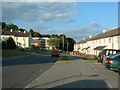
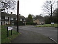
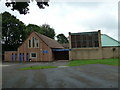


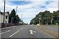
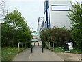
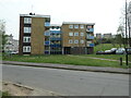
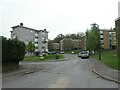
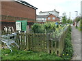
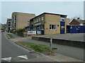
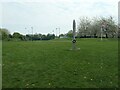
35 photos from this area
Area Information
Key information about the SO19 8ND including its size, population, and administrative classification.
- Area Type
- Postcode
- Area Size
- 9045 m²
- Population
- 1573
- Population Density
- 6795 people/km²
House Prices in SO19 8ND
28
Properties
£206,218
Average Sold Price
£51,950
Lowest Price
£320,000
Highest Price
Showing 28 properties
| Address | Type | Beds | Baths | Last Sale Price | Last Sale Date | |
|---|---|---|---|---|---|---|
| 264 Bursledon Road, Southampton, SO19 8ND | Semi-detached | 3 | 1 | £285,000 | Dec 2024 | |
| 250 Bursledon Road, Southampton, SO19 8ND | Semi-detached | 3 | 1 | £227,000 | Oct 2024 | |
| 248 Bursledon Road, Southampton, SO19 8ND | Detached | 3 | 3 | £320,000 | Feb 2024 | |
| 270 Bursledon Road, Southampton, SO19 8ND | Semi-detached | 2 | 1 | £245,000 | Jul 2022 | |
| 256 Bursledon Road, Southampton, SO19 8ND | Detached | 5 | 1 | £300,000 | May 2022 | |
| 282 Bursledon Road, Southampton, SO19 8ND | Detached | 3 | 1 | £250,000 | May 2022 | |
| 268 Bursledon Road, Southampton, SO19 8ND | Semi-detached | 3 | 1 | £229,800 | Oct 2021 | |
| 266 Bursledon Road, Southampton, SO19 8ND | house | - | - | £225,000 | Jul 2021 | |
| 280 Bursledon Road, Southampton, SO19 8ND | Semi-detached | 3 | 2 | £210,000 | Aug 2020 | |
| 272 Bursledon Road, Southampton, SO19 8ND | Semi-detached | 2 | 1 | £206,000 | Dec 2018 |
Page 1 of 3
Energy Efficiency in SO19 8ND
Amenities
Schools
| Rank | School | Type | Entry gender | Ages |
|---|
Explore more schools in this area
Go to Schools tabDemographics
Household Size
One person
most common
Accommodation Type
Houses
most common
Tenure
58
majority
Ethnic Group
White
most common
Religion
N/A
most common
Household Composition
N/A
most common
Age
47
median
Adults (30-64 years)
most common
Household Deprivation
N/A
with no deprivation
NS-SEC
25
in Lower managerial occupations
Explore more demographic insights in this area
Go to Demographics tabPlanning
Planning Constraints
- Flood RiskPremium
- Ramsar Wetland SitesPremium
- Area of Outstanding Natural BeautyPremium
- Protected Nature ReservePremium
- Protected WoodlandPremium