Area Overview for SO19 8GY
Photos of SO19 8GY
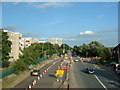
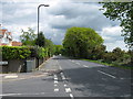

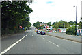
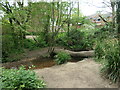
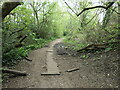
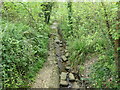
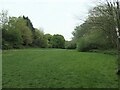
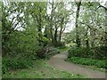
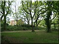
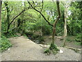
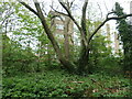
29 photos from this area
Area Information
Key information about the SO19 8GY including its size, population, and administrative classification.
- Area Type
- Postcode
- Area Size
- 8791 m²
- Population
- 1361
- Population Density
- 6084 people/km²
House Prices in SO19 8GY
27
Properties
£204,202
Average Sold Price
£59,950
Lowest Price
£335,000
Highest Price
Showing 27 properties
| Address | Type | Beds | Baths | Last Sale Price | Last Sale Date | |
|---|---|---|---|---|---|---|
| 200 Kathleen Road, Southampton, SO19 8GY | Semi-detached | 3 | 1 | £335,000 | Oct 2023 | |
| 178 Kathleen Road, Southampton, SO19 8GY | Bungalow | 2 | 1 | £320,000 | Feb 2023 | |
| 180 Kathleen Road, Southampton, SO19 8GY | Bungalow | 2 | 2 | £295,000 | Sep 2022 | |
| 210 Kathleen Road, Southampton, SO19 8GY | house | - | - | £285,500 | Mar 2022 | |
| 212 Kathleen Road, Southampton, SO19 8GY | Semi-detached | 3 | 1 | £240,000 | Mar 2021 | |
| 202 Kathleen Road, Southampton, SO19 8GY | Detached | 3 | 1 | £290,000 | Jan 2021 | |
| 198 Kathleen Road, Southampton, SO19 8GY | Semi-detached | 3 | 1 | £249,000 | Apr 2018 | |
| 222 Kathleen Road, Southampton, SO19 8GY | Semi-detached | 3 | 1 | £260,000 | Sep 2017 | |
| 184 Kathleen Road, Southampton, SO19 8GY | Semi-detached | 3 | 1 | £257,000 | Jun 2017 | |
| 194 Kathleen Road, Southampton, SO19 8GY | Semi-detached | 3 | 1 | £223,000 | Dec 2016 |
Page 1 of 3
Energy Efficiency in SO19 8GY
Amenities
Schools
| Rank | School | Type | Entry gender | Ages |
|---|
Explore more schools in this area
Go to Schools tabDemographics
Household Size
Two person
most common
Accommodation Type
Houses
most common
Tenure
83
majority
Ethnic Group
White
most common
Religion
N/A
most common
Household Composition
N/A
most common
Age
47
median
Adults (30-64 years)
most common
Household Deprivation
N/A
with no deprivation
NS-SEC
28
in Lower managerial occupations
Explore more demographic insights in this area
Go to Demographics tabPlanning
Planning Constraints
- Flood RiskPremium
- Ramsar Wetland SitesPremium
- Area of Outstanding Natural BeautyPremium
- Protected Nature ReservePremium
- Protected WoodlandPremium