Area Overview for SO19 7GU
Photos of SO19 7GU
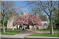
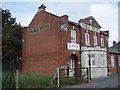
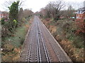
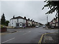
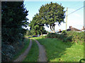
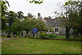
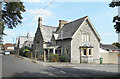
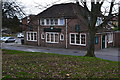
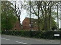
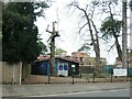
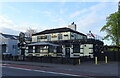
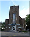
66 photos from this area
Area Information
Key information about the SO19 7GU including its size, population, and administrative classification.
- Area Type
- Postcode
- Area Size
- 1.9 hectares
- Population
- 1864
- Population Density
- 4001 people/km²
House Prices in SO19 7GU
27
Properties
£217,833
Average Sold Price
£67,500
Lowest Price
£316,500
Highest Price
Showing 27 properties
| Address | Type | Beds | Baths | Last Sale Price | Last Sale Date | |
|---|---|---|---|---|---|---|
| The Old School, 1A Peartree Road, Southampton, SO19 7GU | Terraced | 2 | 1 | £316,500 | Mar 2025 | |
| The Old School, 1E Peartree Road, Southampton, SO19 7GU | Terraced | 2 | 2 | £310,000 | Aug 2024 | |
| 11 Peartree Road, Southampton, SO19 7GU | Terraced | 3 | 1 | £285,000 | Jan 2024 | |
| 14 Peartree Road, Southampton, SO19 7GU | Terraced | 2 | 1 | £230,000 | Mar 2023 | |
| 18 Peartree Road, Southampton, SO19 7GU | house | 3 | 1 | £310,000 | Jun 2022 | |
| 4 Peartree Road, Southampton, SO19 7GU | Terraced | 3 | 1 | £215,000 | Nov 2019 | |
| 6 Peartree Road, Southampton, SO19 7GU | Semi-detached | 2 | 1 | £250,000 | Sep 2019 | |
| 5 Peartree Road, Southampton, SO19 7GU | Terraced | 3 | 1 | £282,000 | May 2018 | |
| 3 Peartree Road, Southampton, SO19 7GU | Terraced | 3 | 1 | £268,000 | Aug 2017 | |
| 15 Peartree Road, Southampton, SO19 7GU | Terraced | 3 | - | £203,000 | Oct 2016 |
Page 1 of 3
Energy Efficiency in SO19 7GU
Amenities
Schools
| Rank | School | Type | Entry gender | Ages |
|---|
Explore more schools in this area
Go to Schools tabDemographics
Household Size
One person
most common
Accommodation Type
Flats
most common
Tenure
34
majority
Ethnic Group
White
most common
Religion
N/A
most common
Household Composition
N/A
most common
Age
47
median
Adults (30-64 years)
most common
Household Deprivation
N/A
with no deprivation
NS-SEC
20
in Lower managerial occupations
Explore more demographic insights in this area
Go to Demographics tabPlanning
Planning Constraints
- Flood RiskPremium
- Ramsar Wetland SitesPremium
- Area of Outstanding Natural BeautyPremium
- Protected Nature ReservePremium
- Protected WoodlandPremium