Area Overview for SO19 6JP
Photos of SO19 6JP
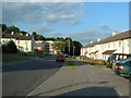
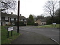


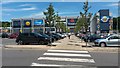
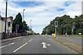
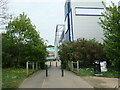
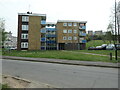
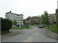
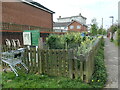
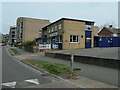
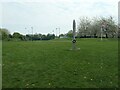
35 photos from this area
Area Information
Key information about the SO19 6JP including its size, population, and administrative classification.
- Area Type
- Postcode
- Area Size
- 5301 m²
- Population
- 1761
- Population Density
- 5190 people/km²
House Prices in SO19 6JP
16
Properties
£144,850
Average Sold Price
£62,500
Lowest Price
£235,000
Highest Price
Showing 16 properties
| Address | Type | Beds | Baths | Last Sale Price | Last Sale Date | |
|---|---|---|---|---|---|---|
| 19 Medwall Green, Southampton, SO19 6JP | Terraced | 3 | 11 | £235,000 | Nov 2024 | |
| 17 Medwall Green, Southampton, SO19 6JP | house | - | - | £186,000 | Apr 2021 | |
| 3 Medwall Green, Southampton, SO19 6JP | Terraced | 3 | 1 | £190,000 | Oct 2017 | |
| 31 Medwall Green, Southampton, SO19 6JP | Terraced | 3 | 1 | £195,000 | Sep 2017 | |
| 15 Medwall Green, Southampton, SO19 6JP | Terraced | 3 | - | £166,000 | Jun 2016 | |
| 1 Medwall Green, Southampton, SO19 6JP | house | 3 | - | £145,000 | Jun 2010 | |
| 27 Medwall Green, Southampton, SO19 6JP | Terraced | 4 | 2 | £125,000 | Jun 2004 | |
| 7 Medwall Green, Southampton, SO19 6JP | Terraced | - | - | £80,000 | Sep 2001 | |
| 25 Medwall Green, Southampton, SO19 6JP | house | 3 | - | £62,500 | Nov 2000 | |
| 5 Medwall Green, Southampton, SO19 6JP | house | - | - | £64,000 | Mar 2000 |
Page 1 of 2
Energy Efficiency in SO19 6JP
Amenities
Schools
| Rank | School | Type | Entry gender | Ages |
|---|
Explore more schools in this area
Go to Schools tabDemographics
Household Size
Family (3-5 people)
most common
Accommodation Type
Flats
most common
Tenure
26
majority
Ethnic Group
White
most common
Religion
N/A
most common
Household Composition
N/A
most common
Age
47
median
Adults (30-64 years)
most common
Household Deprivation
N/A
with no deprivation
NS-SEC
15
in Lower managerial occupations
Explore more demographic insights in this area
Go to Demographics tabPlanning
Planning Constraints
- Flood RiskPremium
- Ramsar Wetland SitesPremium
- Area of Outstanding Natural BeautyPremium
- Protected Nature ReservePremium
- Protected WoodlandPremium