Area Overview for SO19 4BW
Photos of SO19 4BW
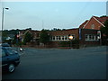
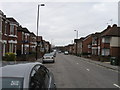

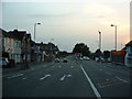
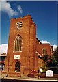


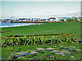
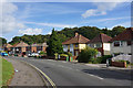
43 photos from this area
Area Information
Key information about the SO19 4BW including its size, population, and administrative classification.
- Area Type
- Postcode
- Area Size
- 2603 m²
- Population
- 1668
- Population Density
- 5407 people/km²
House Prices in SO19 4BW
6
Properties
£258,562
Average Sold Price
£158,000
Lowest Price
£387,500
Highest Price
Showing 6 properties
| Address | Type | Beds | Baths | Last Sale Price | Last Sale Date | |
|---|---|---|---|---|---|---|
| 28 Cross Road, Southampton, SO19 4BW | Detached | 3 | 1 | £295,000 | Oct 2018 | |
| 22 Cross Road, Southampton, SO19 4BW | Detached | 4 | 4 | £387,500 | Mar 2017 | |
| 30 Cross Road, Southampton, SO19 4BW | Detached | 3 | 1 | £172,419 | Apr 2008 | |
| 32 Cross Road, Southampton, SO19 4BW | Detached | - | - | £360,000 | Dec 2007 | |
| 26 Cross Road, Southampton, SO19 4BW | Semi-detached | - | - | £178,450 | Jun 2007 | |
| 24 Cross Road, Southampton, SO19 4BW | Semi-detached | 3 | 1 | £158,000 | Apr 2003 |
Energy Efficiency in SO19 4BW
Amenities
Schools
| Rank | School | Type | Entry gender | Ages |
|---|
Explore more schools in this area
Go to Schools tabDemographics
Household Size
Family (3-5 people)
most common
Accommodation Type
Houses
most common
Tenure
82
majority
Ethnic Group
White
most common
Religion
N/A
most common
Household Composition
N/A
most common
Age
47
median
Adults (30-64 years)
most common
Household Deprivation
N/A
with no deprivation
NS-SEC
40
in Lower managerial occupations
Explore more demographic insights in this area
Go to Demographics tabPlanning
Planning Constraints
- Flood RiskPremium
- Ramsar Wetland SitesPremium
- Area of Outstanding Natural BeautyPremium
- Protected Nature ReservePremium
- Protected WoodlandPremium