Area Overview for SO19 2QB
Photos of SO19 2QB
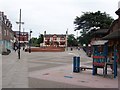
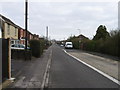
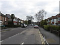
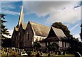
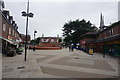

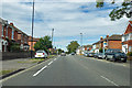
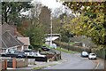
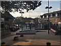
40 photos from this area
Area Information
Key information about the SO19 2QB including its size, population, and administrative classification.
- Area Type
- Postcode
- Area Size
- 1.7 hectares
- Population
- 1606
- Population Density
- 5014 people/km²
House Prices in SO19 2QB
26
Properties
£256,615
Average Sold Price
£53,000
Lowest Price
£500,000
Highest Price
Showing 26 properties
| Address | Type | Beds | Baths | Last Sale Price | Last Sale Date | |
|---|---|---|---|---|---|---|
| 128 Spring Road, Southampton, SO19 2QB | Detached | 4 | 2 | £500,000 | Mar 2024 | |
| 138 Spring Road, Southampton, SO19 2QB | Semi-detached | 3 | 1 | £335,000 | Mar 2023 | |
| 150 Spring Road, Southampton, SO19 2QB | Retail | 3 | 2 | £361,500 | Apr 2022 | |
| 120 Spring Road, Southampton, SO19 2QB | house | - | - | £325,000 | Sep 2021 | |
| 154A Spring Road, Southampton, SO19 2QB | house | - | - | £320,000 | May 2021 | |
| 140 Spring Road, Southampton, SO19 2QB | Semi-detached | - | - | £287,500 | Jan 2020 | |
| 158 Spring Road, Southampton, SO19 2QB | Semi-detached | 3 | 2 | £305,000 | Mar 2018 | |
| 136 Spring Road, Southampton, SO19 2QB | Semi-detached | 3 | - | £307,000 | Oct 2017 | |
| 122 Spring Road, Southampton, SO19 2QB | Detached | - | - | £184,000 | Jul 2004 | |
| 152 Spring Road, Southampton, SO19 2QB | Detached | - | - | £155,000 | Feb 2001 |
Page 1 of 3
Energy Efficiency in SO19 2QB
Amenities
Schools
| Rank | School | Type | Entry gender | Ages |
|---|
Explore more schools in this area
Go to Schools tabDemographics
Household Size
Two person
most common
Accommodation Type
Houses
most common
Tenure
75
majority
Ethnic Group
White
most common
Religion
N/A
most common
Household Composition
N/A
most common
Age
47
median
Adults (30-64 years)
most common
Household Deprivation
N/A
with no deprivation
NS-SEC
29
in Lower managerial occupations
Explore more demographic insights in this area
Go to Demographics tabPlanning
Planning Constraints
- Flood RiskPremium
- Ramsar Wetland SitesPremium
- Area of Outstanding Natural BeautyPremium
- Protected Nature ReservePremium
- Protected WoodlandPremium