Area Overview for SO19 2PA
Photos of SO19 2PA

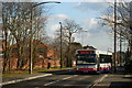
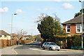
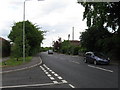
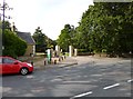
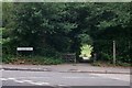
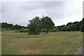

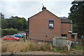
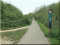
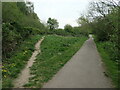
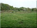
28 photos from this area
Area Information
Key information about the SO19 2PA including its size, population, and administrative classification.
- Area Type
- Postcode
- Area Size
- 4.3 hectares
- Population
- 1669
- Population Density
- 3399 people/km²
House Prices in SO19 2PA
18
Properties
£172,000
Average Sold Price
£65,000
Lowest Price
£285,000
Highest Price
Showing 18 properties
| Address | Type | Beds | Baths | Last Sale Price | Last Sale Date | |
|---|---|---|---|---|---|---|
| 386 Spring Road, Southampton, SO19 2PA | Detached | 2 | 1 | £285,000 | Dec 2025 | |
| 400 Spring Road, Southampton, SO19 2PA | house | - | - | £200,000 | Apr 2019 | |
| 406 Spring Road, Southampton, SO19 2PA | Detached | 2 | - | £215,000 | May 2017 | |
| 394 Spring Road, Southampton, SO19 2PA | Semi-detached | - | - | £160,000 | Oct 2007 | |
| 412 Spring Road, Southampton, SO19 2PA | Detached | - | - | £188,000 | Sep 2004 | |
| 396 Spring Road, Southampton, SO19 2PA | Semi-detached | 3 | 1 | £158,000 | Aug 2004 | |
| 384 Spring Road, Southampton, SO19 2PA | Detached | - | - | £165,000 | May 2004 | |
| 388 Spring Road, Southampton, SO19 2PA | Semi-detached | - | - | £112,000 | Jul 2002 | |
| 408 Spring Road, Southampton, SO19 2PA | Detached | - | - | £65,000 | Jul 1997 | |
| 398 Spring Road, Southampton, SO19 2PA | house | 3 | - | - | - |
Page 1 of 2
Energy Efficiency in SO19 2PA
Amenities
Schools
| Rank | School | Type | Entry gender | Ages |
|---|
Explore more schools in this area
Go to Schools tabDemographics
Household Size
Two person
most common
Accommodation Type
Houses
most common
Tenure
78
majority
Ethnic Group
White
most common
Religion
N/A
most common
Household Composition
N/A
most common
Age
47
median
Adults (30-64 years)
most common
Household Deprivation
N/A
with no deprivation
NS-SEC
29
in Lower managerial occupations
Explore more demographic insights in this area
Go to Demographics tabPlanning
Planning Constraints
- Flood RiskPremium
- Ramsar Wetland SitesPremium
- Area of Outstanding Natural BeautyPremium
- Protected Nature ReservePremium
- Protected WoodlandPremium