Area Overview for SO19 2BG
Photos of SO19 2BG
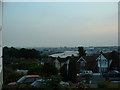
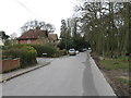
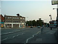
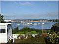
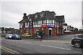
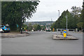
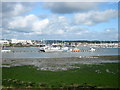

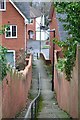
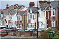


40 photos from this area
Area Information
Key information about the SO19 2BG including its size, population, and administrative classification.
- Area Type
- Postcode
- Area Size
- 1.2 hectares
- Population
- 1368
- Population Density
- 4298 people/km²
House Prices in SO19 2BG
16
Properties
£216,813
Average Sold Price
£68,000
Lowest Price
£415,000
Highest Price
Showing 16 properties
| Address | Type | Beds | Baths | Last Sale Price | Last Sale Date | |
|---|---|---|---|---|---|---|
| 54 Spring Road, Southampton, SO19 2BG | Detached | 3 | 2 | £323,800 | May 2024 | |
| 40 Spring Road, Southampton, SO19 2BG | Detached | 3 | 1 | £340,000 | Sep 2022 | |
| 30 Spring Road, Southampton, SO19 2BG | Detached | 3 | 1 | £415,000 | May 2021 | |
| 44 Spring Road, Southampton, SO19 2BG | house | - | - | £240,000 | Aug 2015 | |
| 50 Spring Road, Southampton, SO19 2BG | Detached | 3 | 1 | £187,000 | Jun 2013 | |
| 48 Spring Road, Southampton, SO19 2BG | house | - | - | £87,500 | Mar 2012 | |
| 52 Spring Road, Southampton, SO19 2BG | Detached | 3 | - | £190,000 | Dec 2011 | |
| 34 Spring Road, Southampton, SO19 2BG | house | 3 | - | £197,000 | Aug 2011 | |
| 38 Spring Road, Southampton, SO19 2BG | house | 3 | - | £234,000 | Nov 2006 | |
| 36 Spring Road, Southampton, SO19 2BG | Detached | 3 | 2 | £249,950 | Jul 2006 |
Page 1 of 2
Energy Efficiency in SO19 2BG
Amenities
Schools
| Rank | School | Type | Entry gender | Ages |
|---|
Explore more schools in this area
Go to Schools tabDemographics
Household Size
Family (3-5 people)
most common
Accommodation Type
Houses
most common
Tenure
78
majority
Ethnic Group
White
most common
Religion
N/A
most common
Household Composition
N/A
most common
Age
47
median
Adults (30-64 years)
most common
Household Deprivation
N/A
with no deprivation
NS-SEC
38
in Lower managerial occupations
Explore more demographic insights in this area
Go to Demographics tabPlanning
Planning Constraints
- Flood RiskPremium
- Ramsar Wetland SitesPremium
- Area of Outstanding Natural BeautyPremium
- Protected Nature ReservePremium
- Protected WoodlandPremium