Area Overview for SO19 1SE
Photos of SO19 1SE
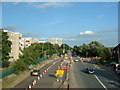
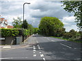

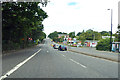
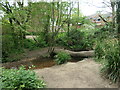
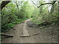
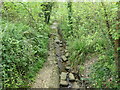
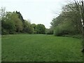
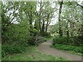
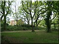
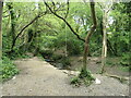
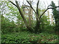
29 photos from this area
Area Information
Key information about the SO19 1SE including its size, population, and administrative classification.
- Area Type
- Postcode
- Area Size
- 3206 m²
- Population
- 1297
- Population Density
- 3194 people/km²
House Prices in SO19 1SE
14
Properties
£185,517
Average Sold Price
£99,500
Lowest Price
£290,000
Highest Price
Showing 14 properties
| Address | Type | Beds | Baths | Last Sale Price | Last Sale Date | |
|---|---|---|---|---|---|---|
| 13 Heyes Drive, Southampton, SO19 1SE | Terraced | 3 | 1 | £266,500 | Jan 2023 | |
| 5 Heyes Drive, Southampton, SO19 1SE | Terraced | 3 | 1 | £270,000 | Jun 2022 | |
| 11 Heyes Drive, Southampton, SO19 1SE | Detached | 3 | 3 | £290,000 | Apr 2022 | |
| 14 Heyes Drive, Southampton, SO19 1SE | Terraced | 3 | 1 | £225,000 | Sep 2019 | |
| 8 Heyes Drive, Southampton, SO19 1SE | Terraced | 2 | 1 | £186,000 | Oct 2017 | |
| 2 Heyes Drive, Southampton, SO19 1SE | Terraced | 3 | 1 | £160,000 | May 2015 | |
| 12 Heyes Drive, Southampton, SO19 1SE | Terraced | 3 | 2 | £186,500 | Aug 2014 | |
| 3 Heyes Drive, Southampton, SO19 1SE | house | - | - | £152,000 | May 2012 | |
| 1 Heyes Drive, Southampton, SO19 1SE | house | - | - | £132,750 | Jun 2006 | |
| 10 Heyes Drive, Southampton, SO19 1SE | Terraced | - | - | £139,950 | Aug 2005 |
Page 1 of 2
Energy Efficiency in SO19 1SE
Amenities
Schools
| Rank | School | Type | Entry gender | Ages |
|---|
Explore more schools in this area
Go to Schools tabDemographics
Household Size
Family (3-5 people)
most common
Accommodation Type
Houses
most common
Tenure
64
majority
Ethnic Group
White
most common
Religion
N/A
most common
Household Composition
N/A
most common
Age
47
median
Adults (30-64 years)
most common
Household Deprivation
N/A
with no deprivation
NS-SEC
22
in Lower managerial occupations
Explore more demographic insights in this area
Go to Demographics tabPlanning
Planning Constraints
- Flood RiskPremium
- Ramsar Wetland SitesPremium
- Area of Outstanding Natural BeautyPremium
- Protected Nature ReservePremium
- Protected WoodlandPremium