Area Overview for SO19 0NL
Photos of SO19 0NL
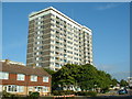
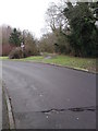
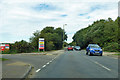
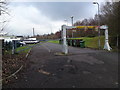
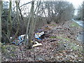
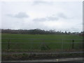
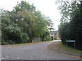
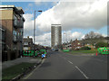
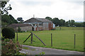
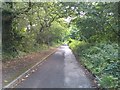
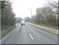

26 photos from this area
Area Information
Key information about the SO19 0NL including its size, population, and administrative classification.
- Area Type
- Postcode
- Area Size
- 1.3 hectares
- Population
- 1597
- Population Density
- 5557 people/km²
House Prices in SO19 0NL
34
Properties
£208,105
Average Sold Price
£37,000
Lowest Price
£580,000
Highest Price
Showing 34 properties
| Address | Type | Beds | Baths | Last Sale Price | Last Sale Date | |
|---|---|---|---|---|---|---|
| 259 Botley Road, Southampton, SO19 0NL | Flat | - | - | £175,000 | Oct 2025 | |
| 243 Botley Road, Southampton, SO19 0NL | Retail | 2 | 1 | £180,000 | Dec 2021 | |
| 221 Botley Road, Southampton, SO19 0NL | house | 4 | - | £580,000 | Jun 2021 | |
| 221A Botley Road, Southampton, SO19 0NL | house | - | - | £475,000 | Jan 2021 | |
| 237 Botley Road, Southampton, SO19 0NL | Detached | 3 | 2 | £410,000 | Sep 2020 | |
| 201 Botley Road, Southampton, SO19 0NL | Bungalow | - | - | £320,000 | Dec 2019 | |
| 239 Botley Road, Southampton, SO19 0NL | Detached | 3 | 1 | £360,000 | Jan 2019 | |
| 245 Botley Road, Southampton, SO19 0NL | Semi-detached | 3 | 1 | £220,000 | May 2016 | |
| 241 Botley Road, Southampton, SO19 0NL | Flat | - | - | £118,000 | Apr 2006 | |
| 251 Botley Road, Southampton, SO19 0NL | Flat | 2 | 1 | £113,000 | May 2005 |
Page 1 of 4
Energy Efficiency in SO19 0NL
Amenities
Schools
| Rank | School | Type | Entry gender | Ages |
|---|
Explore more schools in this area
Go to Schools tabDemographics
Household Size
Family (3-5 people)
most common
Accommodation Type
Houses
most common
Tenure
57
majority
Ethnic Group
White
most common
Religion
N/A
most common
Household Composition
N/A
most common
Age
47
median
Adults (30-64 years)
most common
Household Deprivation
N/A
with no deprivation
NS-SEC
23
in Lower managerial occupations
Explore more demographic insights in this area
Go to Demographics tabPlanning
Planning Constraints
- Flood RiskPremium
- Ramsar Wetland SitesPremium
- Area of Outstanding Natural BeautyPremium
- Protected Nature ReservePremium
- Protected WoodlandPremium