Area Overview for SO18 5QU
Photos of SO18 5QU
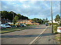
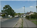
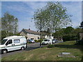
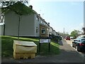
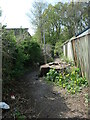
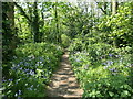
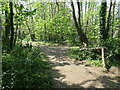
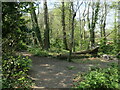
21 photos from this area
Area Information
Key information about the SO18 5QU including its size, population, and administrative classification.
- Area Type
- Postcode
- Area Size
- 1.4 hectares
- Population
- 1601
- Population Density
- 5972 people/km²
House Prices in SO18 5QU
31
Properties
£179,458
Average Sold Price
£46,000
Lowest Price
£327,500
Highest Price
Showing 31 properties
| Address | Type | Beds | Baths | Last Sale Price | Last Sale Date | |
|---|---|---|---|---|---|---|
| 28 Mon Crescent, Southampton, SO18 5QU | Bungalow | 2 | 1 | £260,000 | Apr 2023 | |
| 8 Mon Crescent, Southampton, SO18 5QU | Bungalow | 3 | 1 | £290,000 | Apr 2021 | |
| 2 Mon Crescent, Southampton, SO18 5QU | Bungalow | 3 | 1 | £298,000 | Jul 2019 | |
| 6 Mon Crescent, Southampton, SO18 5QU | Bungalow | - | - | £327,500 | Jul 2019 | |
| 4 Mon Crescent, Southampton, SO18 5QU | Bungalow | 2 | 1 | £235,000 | May 2019 | |
| 44 Mon Crescent, Southampton, SO18 5QU | Bungalow | 2 | 1 | £228,000 | Aug 2017 | |
| 2A Mon Crescent, Southampton, SO18 5QU | Bungalow | 2 | 1 | £230,000 | Feb 2016 | |
| 16 Mon Crescent, Southampton, SO18 5QU | Bungalow | 2 | - | £190,000 | Feb 2016 | |
| 22 Mon Crescent, Southampton, SO18 5QU | Bungalow | 3 | - | £233,300 | Mar 2015 | |
| 54 Mon Crescent, Southampton, SO18 5QU | Bungalow | 2 | 2 | £197,000 | Nov 2013 |
Page 1 of 4
Energy Efficiency in SO18 5QU
Amenities
Schools
| Rank | School | Type | Entry gender | Ages |
|---|
Explore more schools in this area
Go to Schools tabDemographics
Household Size
Two person
most common
Accommodation Type
Houses
most common
Tenure
64
majority
Ethnic Group
White
most common
Religion
N/A
most common
Household Composition
N/A
most common
Age
47
median
Adults (30-64 years)
most common
Household Deprivation
N/A
with no deprivation
NS-SEC
28
in Lower managerial occupations
Explore more demographic insights in this area
Go to Demographics tabPlanning
Planning Constraints
- Flood RiskPremium
- Ramsar Wetland SitesPremium
- Area of Outstanding Natural BeautyPremium
- Protected Nature ReservePremium
- Protected WoodlandPremium