Area Overview for SO18 5HU
Photos of SO18 5HU
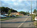
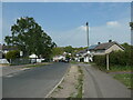
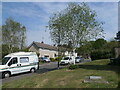
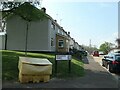
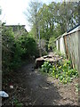
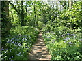
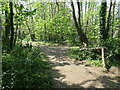
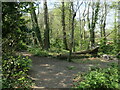
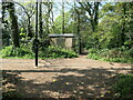
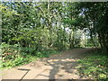
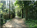
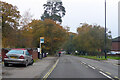
21 photos from this area
Area Information
Key information about the SO18 5HU including its size, population, and administrative classification.
- Area Type
- Postcode
- Area Size
- 5925 m²
- Population
- 1480
- Population Density
- 249809 people/km²
House Prices in SO18 5HU
10
Properties
£204,238
Average Sold Price
£55,000
Lowest Price
£380,000
Highest Price
Showing 10 properties
| Address | Type | Beds | Baths | Last Sale Price | Last Sale Date | |
|---|---|---|---|---|---|---|
| 34 Bramdean Road, Southampton, SO18 5HU | house | - | - | £380,000 | Mar 2023 | |
| 26 Bramdean Road, Southampton, SO18 5HU | house | 3 | 1 | £330,000 | Mar 2022 | |
| 28 Bramdean Road, Southampton, SO18 5HU | Terraced | 3 | 1 | £260,000 | Aug 2021 | |
| 22 Bramdean Road, Southampton, SO18 5HU | Semi-detached | 3 | 1 | £186,000 | Aug 2015 | |
| 40 Bramdean Road, Southampton, SO18 5HU | Semi-detached | - | - | £198,000 | Oct 2014 | |
| 32 Bramdean Road, Southampton, SO18 5HU | house | - | - | £159,950 | Jun 2009 | |
| 24 Bramdean Road, Southampton, SO18 5HU | Semi-detached | - | - | £55,000 | Jun 1997 | |
| 38 Bramdean Road, Southampton, SO18 5HU | Semi-detached | - | - | £64,950 | Mar 1995 | |
| 30 Bramdean Road, Southampton, SO18 5HU | Terraced | - | - | - | - | |
| 36 Bramdean Road, Southampton, SO18 5HU | Semi-detached | - | - | - | - |
Energy Efficiency in SO18 5HU
Amenities
Schools
| Rank | School | Type | Entry gender | Ages |
|---|
Explore more schools in this area
Go to Schools tabDemographics
Household Size
Two person
most common
Accommodation Type
Houses
most common
Tenure
63
majority
Ethnic Group
White
most common
Religion
N/A
most common
Household Composition
N/A
most common
Age
47
median
Adults (30-64 years)
most common
Household Deprivation
N/A
with no deprivation
NS-SEC
27
in Lower managerial occupations
Explore more demographic insights in this area
Go to Demographics tabPlanning
Planning Constraints
- Flood RiskPremium
- Ramsar Wetland SitesPremium
- Area of Outstanding Natural BeautyPremium
- Protected Nature ReservePremium
- Protected WoodlandPremium