Area Overview for SO18 2QF
Photos of SO18 2QF
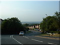
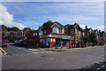
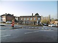
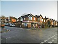
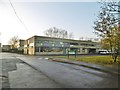
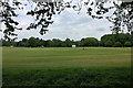
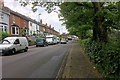
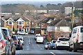
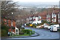
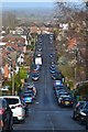
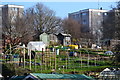
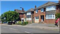
21 photos from this area
Area Information
Key information about the SO18 2QF including its size, population, and administrative classification.
- Area Type
- Postcode
- Area Size
- 5045 m²
- Population
- 1571
- Population Density
- 6092 people/km²
House Prices in SO18 2QF
16
Properties
£180,885
Average Sold Price
£47,000
Lowest Price
£310,000
Highest Price
Showing 16 properties
| Address | Type | Beds | Baths | Last Sale Price | Last Sale Date | |
|---|---|---|---|---|---|---|
| 40 Northfield Road, Southampton, SO18 2QF | Maisonette | 2 | 1 | £200,000 | Feb 2022 | |
| 46 Northfield Road, Southampton, SO18 2QF | house | - | - | £310,000 | Feb 2022 | |
| 52 Northfield Road, Southampton, SO18 2QF | Semi-detached | 4 | 2 | £310,000 | Nov 2020 | |
| 42 Northfield Road, Southampton, SO18 2QF | Flat | 2 | 1 | £159,000 | Jun 2019 | |
| 28 Northfield Road, Southampton, SO18 2QF | Flat | 2 | 1 | £178,000 | Aug 2017 | |
| 54 Northfield Road, Southampton, SO18 2QF | Semi-detached | 4 | 1 | £250,000 | May 2017 | |
| 30 Northfield Road, Southampton, SO18 2QF | Maisonette | 2 | - | £140,000 | Oct 2015 | |
| 48 Northfield Road, Southampton, SO18 2QF | house | 3 | - | £221,000 | Jun 2015 | |
| 56 Northfield Road, Southampton, SO18 2QF | Semi-detached | - | - | £189,000 | Jun 2007 | |
| 36 Northfield Road, Southampton, SO18 2QF | Flat | - | - | £118,500 | Sep 2006 |
Page 1 of 2
Energy Efficiency in SO18 2QF
Amenities
Schools
| Rank | School | Type | Entry gender | Ages |
|---|
Explore more schools in this area
Go to Schools tabDemographics
Household Size
Family (3-5 people)
most common
Accommodation Type
Houses
most common
Tenure
69
majority
Ethnic Group
White
most common
Religion
N/A
most common
Household Composition
N/A
most common
Age
47
median
Adults (30-64 years)
most common
Household Deprivation
N/A
with no deprivation
NS-SEC
33
in Lower managerial occupations
Explore more demographic insights in this area
Go to Demographics tabPlanning
Planning Constraints
- Flood RiskPremium
- Ramsar Wetland SitesPremium
- Area of Outstanding Natural BeautyPremium
- Protected Nature ReservePremium
- Protected WoodlandPremium