Area Overview for SO18 2LT
Photos of SO18 2LT
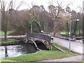
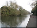
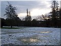
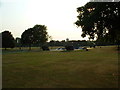
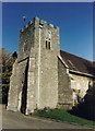
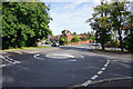

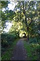

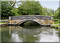
74 photos from this area
Area Information
Key information about the SO18 2LT including its size, population, and administrative classification.
- Area Type
- Postcode
- Area Size
- 1.3 hectares
- Population
- 1606
- Population Density
- 1604 people/km²
House Prices in SO18 2LT
35
Properties
£161,560
Average Sold Price
£58,000
Lowest Price
£258,000
Highest Price
Showing 35 properties
| Address | Type | Beds | Baths | Last Sale Price | Last Sale Date | |
|---|---|---|---|---|---|---|
| 9 Claude Ashby Close, Southampton, SO18 2LT | Retail | 3 | 1 | £258,000 | Jun 2022 | |
| 10 Claude Ashby Close, Southampton, SO18 2LT | house | - | - | £206,000 | Dec 2020 | |
| 7 Claude Ashby Close, Southampton, SO18 2LT | Terraced | 3 | 2 | £208,000 | May 2018 | |
| 8 Claude Ashby Close, Southampton, SO18 2LT | Terraced | 3 | 1 | £215,000 | Jun 2017 | |
| 28 Claude Ashby Close, Southampton, SO18 2LT | Bungalow | - | - | £163,000 | May 2016 | |
| 42 Claude Ashby Close, Southampton, SO18 2LT | house | 2 | - | £159,950 | May 2014 | |
| 20 Claude Ashby Close, Southampton, SO18 2LT | Terraced | 3 | - | £140,000 | Jan 2014 | |
| 25 Claude Ashby Close, Southampton, SO18 2LT | Terraced | 3 | - | £134,950 | Apr 2013 | |
| 4 Claude Ashby Close, Southampton, SO18 2LT | Terraced | 3 | - | £145,000 | Dec 2012 | |
| 2 Claude Ashby Close, Southampton, SO18 2LT | house | 3 | - | £148,000 | Sep 2011 |
Page 1 of 4
Energy Efficiency in SO18 2LT
Amenities
Schools
| Rank | School | Type | Entry gender | Ages |
|---|
Explore more schools in this area
Go to Schools tabDemographics
Household Size
One person
most common
Accommodation Type
Houses
most common
Tenure
38
majority
Ethnic Group
White
most common
Religion
N/A
most common
Household Composition
N/A
most common
Age
47
median
Adults (30-64 years)
most common
Household Deprivation
N/A
with no deprivation
NS-SEC
23
in Lower managerial occupations
Explore more demographic insights in this area
Go to Demographics tabPlanning
Planning Constraints
- Flood RiskPremium
- Ramsar Wetland SitesPremium
- Area of Outstanding Natural BeautyPremium
- Protected Nature ReservePremium
- Protected WoodlandPremium