Area Overview for SO17 2JG
Photos of SO17 2JG
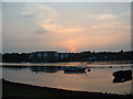
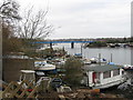
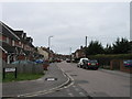
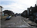
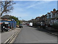
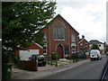
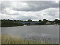
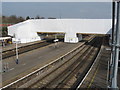

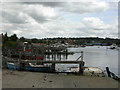
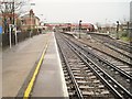
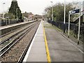
100 photos from this area
Area Information
Key information about the SO17 2JG including its size, population, and administrative classification.
- Area Type
- Postcode
- Area Size
- 4740 m²
- Population
- 1613
- Population Density
- 5804 people/km²
House Prices in SO17 2JG
24
Properties
£174,409
Average Sold Price
£118,000
Lowest Price
£263,000
Highest Price
Showing 24 properties
| Address | Type | Beds | Baths | Last Sale Price | Last Sale Date | |
|---|---|---|---|---|---|---|
| 38 Eastfield Road, Southampton, SO17 2JG | Terraced | 2 | 1 | £220,000 | Sep 2024 | |
| 48 Eastfield Road, Southampton, SO17 2JG | Terraced | 2 | 1 | £173,500 | Jul 2024 | |
| 42 Eastfield Road, Southampton, SO17 2JG | house | 2 | 1 | £263,000 | May 2022 | |
| 36 Eastfield Road, Southampton, SO17 2JG | house | 2 | 1 | £165,000 | Feb 2016 | |
| 32 Eastfield Road, Southampton, SO17 2JG | house | - | - | £200,000 | Mar 2015 | |
| 26 Eastfield Road, Southampton, SO17 2JG | Semi-detached | 3 | - | £145,000 | Aug 2010 | |
| 26A Eastfield Road, Southampton, SO17 2JG | house | - | - | £185,000 | Aug 2010 | |
| 20 Eastfield Road, Southampton, SO17 2JG | Terraced | 3 | 1 | £178,000 | Oct 2006 | |
| 28A Eastfield Road, Southampton, SO17 2JG | house | - | - | £146,000 | Jun 2006 | |
| 46 Eastfield Road, Southampton, SO17 2JG | house | - | - | £118,000 | Oct 2005 |
Page 1 of 3
Energy Efficiency in SO17 2JG
Amenities
Schools
| Rank | School | Type | Entry gender | Ages |
|---|
Explore more schools in this area
Go to Schools tabDemographics
Household Size
One person
most common
Accommodation Type
Houses
most common
Tenure
48
majority
Ethnic Group
White
most common
Religion
N/A
most common
Household Composition
N/A
most common
Age
47
median
Adults (30-64 years)
most common
Household Deprivation
N/A
with no deprivation
NS-SEC
29
in Lower managerial occupations
Explore more demographic insights in this area
Go to Demographics tabPlanning
Planning Constraints
- Flood RiskPremium
- Ramsar Wetland SitesPremium
- Area of Outstanding Natural BeautyPremium
- Protected Nature ReservePremium
- Protected WoodlandPremium