Area Overview for SO17 1QS
Photos of SO17 1QS
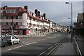
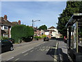
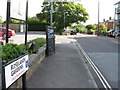
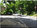
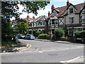
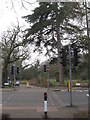


87 photos from this area
Area Information
Key information about the SO17 1QS including its size, population, and administrative classification.
- Area Type
- Postcode
- Area Size
- 5956 m²
- Population
- 1252
- Population Density
- 5645 people/km²
House Prices in SO17 1QS
9
Properties
£334,994
Average Sold Price
£160,000
Lowest Price
£740,000
Highest Price
Showing 9 properties
| Address | Type | Beds | Baths | Last Sale Price | Last Sale Date | |
|---|---|---|---|---|---|---|
| 73 Brookvale Road, Southampton, SO17 1QS | house | 4 | 1 | £740,000 | May 2023 | |
| 71 Brookvale Road, Southampton, SO17 1QS | Terraced | 3 | 1 | £399,950 | Feb 2016 | |
| 65 Brookvale Road, Southampton, SO17 1QS | Terraced | 3 | 2 | £330,000 | Aug 2011 | |
| 49 Brookvale Road, Southampton, SO17 1QS | house | 3 | 1 | £250,000 | Feb 2006 | |
| 61 Brookvale Road, Southampton, SO17 1QS | Terraced | - | - | £290,000 | Nov 2005 | |
| 69 Brookvale Road, Southampton, SO17 1QS | Terraced | 4 | 1 | £250,000 | Nov 2002 | |
| 67 Brookvale Road, Southampton, SO17 1QS | Terraced | - | - | £260,000 | Jul 2002 | |
| 59 Brookvale Road, Southampton, SO17 1QS | Terraced | 4 | 2 | £160,000 | Jun 1996 | |
| 63 Brookvale Road, Southampton, SO17 1QS | Terraced | - | - | - | - |
Energy Efficiency in SO17 1QS
Amenities
Schools
| Rank | School | Type | Entry gender | Ages |
|---|
Explore more schools in this area
Go to Schools tabDemographics
Household Size
Family (3-5 people)
most common
Accommodation Type
Houses
most common
Tenure
55
majority
Ethnic Group
White
most common
Religion
N/A
most common
Household Composition
N/A
most common
Age
47
median
Adults (30-64 years)
most common
Household Deprivation
N/A
with no deprivation
NS-SEC
41
in Lower managerial occupations
Explore more demographic insights in this area
Go to Demographics tabPlanning
Planning Constraints
- Flood RiskPremium
- Ramsar Wetland SitesPremium
- Area of Outstanding Natural BeautyPremium
- Protected Nature ReservePremium
- Protected WoodlandPremium