Area Overview for SO16 7JZ
Photos of SO16 7JZ

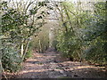
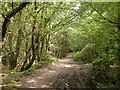
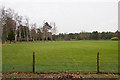

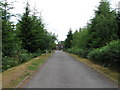
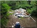
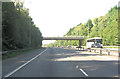
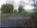


21 photos from this area
Area Information
Key information about the SO16 7JZ including its size, population, and administrative classification.
- Area Type
- Postcode
- Area Size
- 11.8 hectares
- Population
- 1819
- Population Density
- 118 people/km²
House Prices in SO16 7JZ
26
Properties
£1,507,375
Average Sold Price
£950,000
Lowest Price
£2,099,500
Highest Price
Showing 26 properties
| Address | Type | Beds | Baths | Last Sale Price | Last Sale Date | |
|---|---|---|---|---|---|---|
| Orchard House, The Orchard, Chilworth, SO16 7JZ | Detached | 5 | 2 | £1,650,000 | May 2022 | |
| Heather Corner, Chilworth Road, Chilworth, SO16 7JZ | house | 5 | 4 | £950,000 | Sep 2015 | |
| Heathfield House, Chilworth Road, Chilworth, SO16 7JZ | Detached | 5 | 3 | £2,099,500 | Feb 2015 | |
| Holly Lodge, Chilworth Road, Chilworth, SO16 7JZ | house | - | - | £1,330,000 | Jul 2009 | |
| Field Place, The Orchard, Chilworth, SO16 7JZ | Detached | 5 | 4 | - | - | |
| The Annexe, Heather Corner, Chilworth Road, Chilworth, SO16 7JZ | Detached | 5 | 4 | - | - | |
| 3, Heather Hill, Chilworth Road, Chilworth, SO16 7JZ | Detached | 10 | - | - | - | |
| The Coppins, Chilworth Road, Chilworth, SO16 7JZ | Detached | - | - | - | - | |
| Heather Hill, Chilworth Road, Chilworth, SO16 7JZ | Detached | - | - | - | - | |
| Tennis 47M From Heathfield, Chilworth Road 60M From A27, Chilworth Road, Chilworth, SO16 7JZ | Leisure | - | - | - | - |
Page 1 of 3
Energy Efficiency in SO16 7JZ
Amenities
Schools
| Rank | School | Type | Entry gender | Ages |
|---|
Explore more schools in this area
Go to Schools tabDemographics
Household Size
Two person
most common
Accommodation Type
Houses
most common
Tenure
86
majority
Ethnic Group
White
most common
Religion
N/A
most common
Household Composition
N/A
most common
Age
47
median
Adults (30-64 years)
most common
Household Deprivation
N/A
with no deprivation
NS-SEC
45
in Lower managerial occupations
Explore more demographic insights in this area
Go to Demographics tabPlanning
Planning Constraints
- Flood RiskPremium
- Ramsar Wetland SitesPremium
- Area of Outstanding Natural BeautyPremium
- Protected Nature ReservePremium
- Protected WoodlandPremium