Area Overview for SO16 6RD
Photos of SO16 6RD

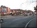
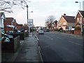
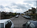
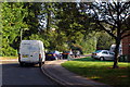
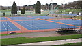
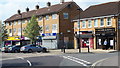
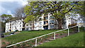
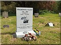
70 photos from this area
Area Information
Key information about the SO16 6RD including its size, population, and administrative classification.
- Area Type
- Postcode
- Area Size
- 3699 m²
- Population
- 1561
- Population Density
- 6153 people/km²
House Prices in SO16 6RD
6
Properties
£163,667
Average Sold Price
£154,000
Lowest Price
£180,500
Highest Price
Showing 6 properties
| Address | Type | Beds | Baths | Last Sale Price | Last Sale Date | |
|---|---|---|---|---|---|---|
| 20 Seymour Road, Southampton, SO16 6RD | Semi-detached | - | - | £156,500 | Jul 2007 | |
| 21 Seymour Road, Southampton, SO16 6RD | Semi-detached | - | - | £180,500 | Jul 2004 | |
| 18A Seymour Road, Southampton, SO16 6RD | Detached | - | - | £154,000 | Aug 2001 | |
| 22 Seymour Road, Southampton, SO16 6RD | Semi-detached | - | - | - | - | |
| 18 Seymour Road, Southampton, SO16 6RD | Detached | - | - | - | - | |
| 19 Seymour Road, Southampton, SO16 6RD | Semi-detached | - | - | - | - |
Energy Efficiency in SO16 6RD
Amenities
Schools
| Rank | School | Type | Entry gender | Ages |
|---|
Explore more schools in this area
Go to Schools tabDemographics
Household Size
Two person
most common
Accommodation Type
Houses
most common
Tenure
47
majority
Ethnic Group
White
most common
Religion
N/A
most common
Household Composition
N/A
most common
Age
47
median
Adults (30-64 years)
most common
Household Deprivation
N/A
with no deprivation
NS-SEC
42
in Lower managerial occupations
Explore more demographic insights in this area
Go to Demographics tabPlanning
Planning Constraints
- Flood RiskPremium
- Ramsar Wetland SitesPremium
- Area of Outstanding Natural BeautyPremium
- Protected Nature ReservePremium
- Protected WoodlandPremium