Area Overview for SO16 4RF
Photos of SO16 4RF

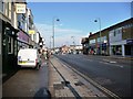
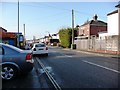
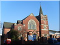

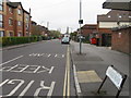
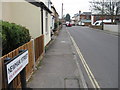
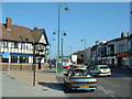
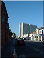
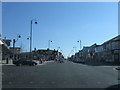
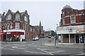
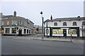
69 photos from this area
Area Information
Key information about the SO16 4RF including its size, population, and administrative classification.
- Area Type
- Postcode
- Area Size
- 3928 m²
- Population
- 1685
- Population Density
- 7594 people/km²
House Prices in SO16 4RF
22
Properties
£178,689
Average Sold Price
£59,250
Lowest Price
£248,000
Highest Price
Showing 22 properties
| Address | Type | Beds | Baths | Last Sale Price | Last Sale Date | |
|---|---|---|---|---|---|---|
| 27 St Edmunds Road, Southampton, SO16 4RF | Semi-detached | 3 | 1 | £248,000 | Mar 2020 | |
| 19 St Edmunds Road, Southampton, SO16 4RF | Terraced | 1 | 2 | £230,000 | Mar 2016 | |
| 7 St Edmunds Road, Southampton, SO16 4RF | Terraced | 3 | 1 | £225,500 | Jul 2015 | |
| 5 St Edmunds Road, Southampton, SO16 4RF | Terraced | 3 | - | £197,500 | Oct 2014 | |
| 9 St Edmunds Road, Southampton, SO16 4RF | house | - | - | £215,000 | Mar 2011 | |
| 1 St Edmunds Road, Southampton, SO16 4RF | Maisonette | 1 | 1 | £209,950 | Mar 2007 | |
| 21 St Edmunds Road, Southampton, SO16 4RF | Semi-detached | - | - | £148,000 | May 2003 | |
| 17 St Edmunds Road, Southampton, SO16 4RF | Terraced | - | - | £75,000 | Nov 1999 | |
| 29 St Edmunds Road, Southampton, SO16 4RF | Semi-detached | - | - | £59,250 | Dec 1997 | |
| 31C St Edmunds Road, Southampton, SO16 4RF | Flat | 1 | 1 | - | - |
Page 1 of 3
Energy Efficiency in SO16 4RF
Amenities
Schools
| Rank | School | Type | Entry gender | Ages |
|---|
Explore more schools in this area
Go to Schools tabDemographics
Household Size
One person
most common
Accommodation Type
Flats
most common
Tenure
45
majority
Ethnic Group
White
most common
Religion
N/A
most common
Household Composition
N/A
most common
Age
47
median
Adults (30-64 years)
most common
Household Deprivation
N/A
with no deprivation
NS-SEC
30
in Lower managerial occupations
Explore more demographic insights in this area
Go to Demographics tabPlanning
Planning Constraints
- Flood RiskPremium
- Ramsar Wetland SitesPremium
- Area of Outstanding Natural BeautyPremium
- Protected Nature ReservePremium
- Protected WoodlandPremium