Area Overview for SO16 4GG
Photos of SO16 4GG

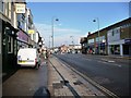
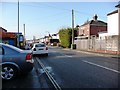
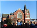

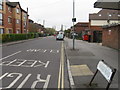
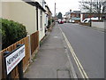
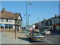
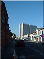
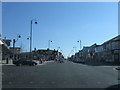
69 photos from this area
Area Information
Key information about the SO16 4GG including its size, population, and administrative classification.
- Area Type
- Postcode
- Area Size
- 4690 m²
- Population
- 1407
- Population Density
- 7985 people/km²
House Prices in SO16 4GG
22
Properties
£156,838
Average Sold Price
£59,000
Lowest Price
£236,500
Highest Price
Showing 22 properties
| Address | Type | Beds | Baths | Last Sale Price | Last Sale Date | |
|---|---|---|---|---|---|---|
| 46 Clarendon Road, Southampton, SO16 4GG | Terraced | 3 | 1 | £236,500 | Oct 2021 | |
| 72 Clarendon Road, Southampton, SO16 4GG | Terraced | 2 | 1 | £234,950 | Apr 2021 | |
| 72A Clarendon Road, Southampton, SO16 4GG | Detached | 3 | 1 | £175,000 | Aug 2018 | |
| 44 Clarendon Road, Southampton, SO16 4GG | Terraced | 2 | - | £100,000 | May 2016 | |
| 64 Clarendon Road, Southampton, SO16 4GG | Terraced | 3 | 2 | £165,000 | Oct 2008 | |
| 60 Clarendon Road, Southampton, SO16 4GG | Terraced | 3 | 2 | £186,500 | May 2008 | |
| 78 Clarendon Road, Southampton, SO16 4GG | Terraced | - | - | £170,000 | Mar 2007 | |
| 66 Clarendon Road, Southampton, SO16 4GG | Terraced | - | - | £165,000 | Dec 2006 | |
| 58 Clarendon Road, Southampton, SO16 4GG | Terraced | - | - | £159,950 | Jun 2004 | |
| 68 Clarendon Road, Southampton, SO16 4GG | Terraced | - | - | £142,000 | Jun 2003 |
Page 1 of 3
Energy Efficiency in SO16 4GG
Amenities
Schools
| Rank | School | Type | Entry gender | Ages |
|---|
Explore more schools in this area
Go to Schools tabDemographics
Household Size
Family (3-5 people)
most common
Accommodation Type
Houses
most common
Tenure
63
majority
Ethnic Group
White
most common
Religion
N/A
most common
Household Composition
N/A
most common
Age
47
median
Adults (30-64 years)
most common
Household Deprivation
N/A
with no deprivation
NS-SEC
32
in Lower managerial occupations
Explore more demographic insights in this area
Go to Demographics tabPlanning
Planning Constraints
- Flood RiskPremium
- Ramsar Wetland SitesPremium
- Area of Outstanding Natural BeautyPremium
- Protected Nature ReservePremium
- Protected WoodlandPremium