Area Overview for SO16 4AN
Photos of SO16 4AN
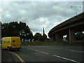
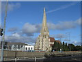
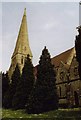
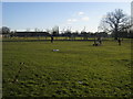
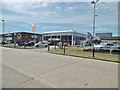
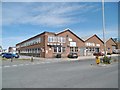

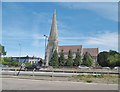
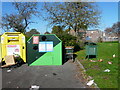

51 photos from this area
Area Information
Key information about the SO16 4AN including its size, population, and administrative classification.
- Area Type
- Postcode
- Area Size
- 1.0 hectares
- Population
- 1811
- Population Density
- 7645 people/km²
House Prices in SO16 4AN
24
Properties
£149,864
Average Sold Price
£53,000
Lowest Price
£245,000
Highest Price
Showing 24 properties
| Address | Type | Beds | Baths | Last Sale Price | Last Sale Date | |
|---|---|---|---|---|---|---|
| 14 Cumbrian Way, Southampton, SO16 4AN | Semi-detached | 3 | 1 | £245,000 | Mar 2022 | |
| 22 Cumbrian Way, Southampton, SO16 4AN | house | 3 | 1 | £240,000 | Dec 2020 | |
| 18 Cumbrian Way, Southampton, SO16 4AN | Semi-detached | 3 | 1 | £161,000 | Jun 2019 | |
| 8 Cumbrian Way, Southampton, SO16 4AN | house | - | - | £213,000 | Apr 2018 | |
| 48 Cumbrian Way, Southampton, SO16 4AN | house | - | - | £165,000 | Feb 2016 | |
| 16 Cumbrian Way, Southampton, SO16 4AN | Semi-detached | 4 | - | £162,500 | Jan 2014 | |
| 34 Cumbrian Way, Southampton, SO16 4AN | house | 3 | - | £120,000 | Jul 2011 | |
| 38 Cumbrian Way, Southampton, SO16 4AN | house | 3 | - | £129,000 | Apr 2011 | |
| 30 Cumbrian Way, Southampton, SO16 4AN | Semi-detached | - | - | £65,000 | Jul 2010 | |
| 20 Cumbrian Way, Southampton, SO16 4AN | house | - | - | £95,000 | Jun 2006 |
Page 1 of 3
Energy Efficiency in SO16 4AN
Amenities
Schools
| Rank | School | Type | Entry gender | Ages |
|---|
Explore more schools in this area
Go to Schools tabDemographics
Household Size
Family (3-5 people)
most common
Accommodation Type
Flats
most common
Tenure
31
majority
Ethnic Group
White
most common
Religion
N/A
most common
Household Composition
N/A
most common
Age
47
median
Adults (30-64 years)
most common
Household Deprivation
N/A
with no deprivation
NS-SEC
14
in Lower managerial occupations
Explore more demographic insights in this area
Go to Demographics tabPlanning
Planning Constraints
- Flood RiskPremium
- Ramsar Wetland SitesPremium
- Area of Outstanding Natural BeautyPremium
- Protected Nature ReservePremium
- Protected WoodlandPremium