Area Overview for SO16 2JE
Photos of SO16 2JE
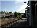
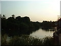
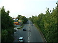
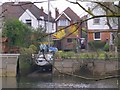
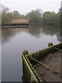
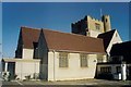
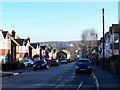
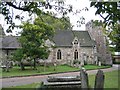
86 photos from this area
Area Information
Key information about the SO16 2JE including its size, population, and administrative classification.
- Area Type
- Postcode
- Area Size
- 1.4 hectares
- Population
- 1292
- Population Density
- 4327 people/km²
House Prices in SO16 2JE
71
Properties
£212,389
Average Sold Price
£99,000
Lowest Price
£372,500
Highest Price
Showing 71 properties
| Address | Type | Beds | Baths | Last Sale Price | Last Sale Date | |
|---|---|---|---|---|---|---|
| 47 High Road, Southampton, SO16 2JE | Semi-detached | 7 | 2 | £372,500 | Apr 2019 | |
| 29 High Road, Southampton, SO16 2JE | Semi-detached | 6 | 3 | £295,000 | Aug 2017 | |
| 31 High Road, Southampton, SO16 2JE | Semi-detached | 3 | 1 | £283,000 | Apr 2016 | |
| 45 High Road, Southampton, SO16 2JE | house | 3 | - | £230,000 | Mar 2016 | |
| 67B High Road, Southampton, SO16 2JE | Detached | 4 | 2 | £140,000 | Jul 2013 | |
| 49 High Road, Southampton, SO16 2JE | Semi-detached | 4 | - | £237,000 | May 2013 | |
| 15A High Road, Southampton, SO16 2JE | Flat | 1 | 1 | £99,000 | Apr 2012 | |
| 17 High Road, Southampton, SO16 2JE | Semi-detached | - | - | £197,000 | Oct 2009 | |
| 5 High Road, Southampton, SO16 2JE | Flat | - | - | £216,000 | Aug 2008 | |
| 27 High Road, Southampton, SO16 2JE | house | 1 | 2 | £225,000 | Mar 2008 |
Page 1 of 8
Energy Efficiency in SO16 2JE
Amenities
Schools
| Rank | School | Type | Entry gender | Ages |
|---|
Explore more schools in this area
Go to Schools tabDemographics
Household Size
Family (3-5 people)
most common
Accommodation Type
Houses
most common
Tenure
36
majority
Ethnic Group
White
most common
Religion
N/A
most common
Household Composition
N/A
most common
Age
22
median
Young Adults (15-29 years)
most common
Household Deprivation
N/A
with no deprivation
NS-SEC
20
in Lower managerial occupations
Explore more demographic insights in this area
Go to Demographics tabPlanning
Planning Constraints
- Flood RiskPremium
- Ramsar Wetland SitesPremium
- Area of Outstanding Natural BeautyPremium
- Protected Nature ReservePremium
- Protected WoodlandPremium