Area Overview for SO15 5PT
Photos of SO15 5PT
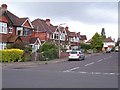
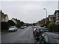
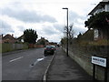
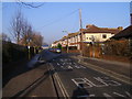
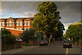
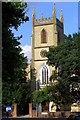
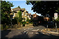
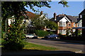
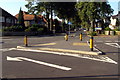
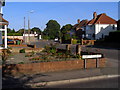

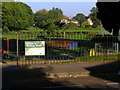
100 photos from this area
Area Information
Key information about the SO15 5PT including its size, population, and administrative classification.
- Area Type
- Postcode
- Area Size
- 6618 m²
- Population
- 1652
- Population Density
- 6299 people/km²
House Prices in SO15 5PT
23
Properties
£166,000
Average Sold Price
£2,000
Lowest Price
£415,000
Highest Price
Showing 23 properties
| Address | Type | Beds | Baths | Last Sale Price | Last Sale Date | |
|---|---|---|---|---|---|---|
| 130 Howards Grove, Southampton, SO15 5PT | Terraced | 2 | 1 | £220,000 | Nov 2022 | |
| 136 Howards Grove, Southampton, SO15 5PT | house | - | - | £225,000 | Sep 2021 | |
| 152 Howards Grove, Southampton, SO15 5PT | Terraced | 3 | - | £188,500 | Nov 2019 | |
| 168 Howards Grove, Southampton, SO15 5PT | Maisonette | - | - | £2,000 | Nov 2019 | |
| 142 Howards Grove, Southampton, SO15 5PT | Terraced | 3 | - | £165,000 | Mar 2019 | |
| 128 Howards Grove, Southampton, SO15 5PT | Terraced | 3 | 1 | £180,000 | May 2018 | |
| 172 Howards Grove, Southampton, SO15 5PT | Detached | 5 | 2 | £415,000 | Aug 2017 | |
| 158 Howards Grove, Southampton, SO15 5PT | Terraced | 3 | 1 | £183,000 | Sep 2016 | |
| 138 Howards Grove, Southampton, SO15 5PT | Terraced | 3 | - | £173,000 | Aug 2015 | |
| 140 Howards Grove, Southampton, SO15 5PT | Terraced | 3 | 1 | £139,000 | Jun 2013 |
Page 1 of 3
Energy Efficiency in SO15 5PT
Amenities
Schools
| Rank | School | Type | Entry gender | Ages |
|---|
Explore more schools in this area
Go to Schools tabDemographics
Household Size
Family (3-5 people)
most common
Accommodation Type
Houses
most common
Tenure
78
majority
Ethnic Group
White
most common
Religion
N/A
most common
Household Composition
N/A
most common
Age
47
median
Adults (30-64 years)
most common
Household Deprivation
N/A
with no deprivation
NS-SEC
41
in Lower managerial occupations
Explore more demographic insights in this area
Go to Demographics tabPlanning
Planning Constraints
- Flood RiskPremium
- Ramsar Wetland SitesPremium
- Area of Outstanding Natural BeautyPremium
- Protected Nature ReservePremium
- Protected WoodlandPremium