Area Overview for SO15 5AL
Photos of SO15 5AL
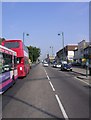
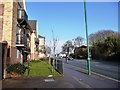
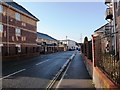
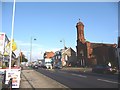
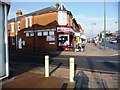

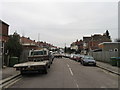
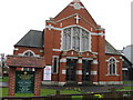
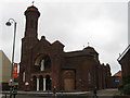
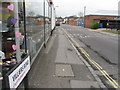
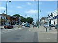
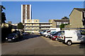
100 photos from this area
Area Information
Key information about the SO15 5AL including its size, population, and administrative classification.
- Area Type
- Postcode
- Area Size
- 8207 m²
- Population
- 1405
- Population Density
- 6955 people/km²
House Prices in SO15 5AL
22
Properties
£309,115
Average Sold Price
£150,000
Lowest Price
£580,000
Highest Price
Showing 22 properties
| Address | Type | Beds | Baths | Last Sale Price | Last Sale Date | |
|---|---|---|---|---|---|---|
| 24 Raymond Road, Southampton, SO15 5AL | Detached | 4 | 2 | £445,000 | Nov 2025 | |
| 28 Raymond Road, Southampton, SO15 5AL | Semi-detached | 4 | 3 | £580,000 | Apr 2022 | |
| 36A Raymond Road, Southampton, SO15 5AL | Flat | - | - | £168,000 | Oct 2019 | |
| 60 Raymond Road, Southampton, SO15 5AL | Semi-detached | 4 | 1 | £340,000 | Aug 2019 | |
| 48 Raymond Road, Southampton, SO15 5AL | house | 3 | - | £362,000 | Nov 2016 | |
| 38 Raymond Road, Southampton, SO15 5AL | house | - | - | £330,000 | Aug 2016 | |
| 40 Raymond Road, Southampton, SO15 5AL | Semi-detached | 3 | - | £280,000 | May 2016 | |
| 54 Raymond Road, Southampton, SO15 5AL | Semi-detached | 3 | - | £332,000 | Mar 2015 | |
| 42 Raymond Road, Southampton, SO15 5AL | Semi-detached | 3 | 1 | £305,000 | Dec 2014 | |
| 44 Raymond Road, Southampton, SO15 5AL | Semi-detached | - | - | £265,000 | Sep 2006 |
Page 1 of 3
Energy Efficiency in SO15 5AL
Amenities
Schools
| Rank | School | Type | Entry gender | Ages |
|---|
Explore more schools in this area
Go to Schools tabDemographics
Household Size
Family (3-5 people)
most common
Accommodation Type
Houses
most common
Tenure
74
majority
Ethnic Group
White
most common
Religion
N/A
most common
Household Composition
N/A
most common
Age
47
median
Adults (30-64 years)
most common
Household Deprivation
N/A
with no deprivation
NS-SEC
46
in Lower managerial occupations
Explore more demographic insights in this area
Go to Demographics tabPlanning
Planning Constraints
- Flood RiskPremium
- Ramsar Wetland SitesPremium
- Area of Outstanding Natural BeautyPremium
- Protected Nature ReservePremium
- Protected WoodlandPremium