Area Overview for SO15 2PT
Photos of SO15 2PT
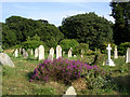
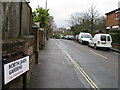
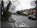
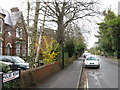

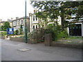
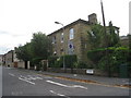
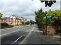

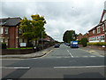
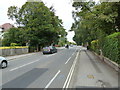
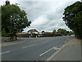
100 photos from this area
Area Information
Key information about the SO15 2PT including its size, population, and administrative classification.
- Area Type
- Postcode
- Area Size
- 1311 m²
- Population
- 2098
- Population Density
- 7899 people/km²
House Prices in SO15 2PT
14
Properties
£219,759
Average Sold Price
£130,000
Lowest Price
£350,000
Highest Price
Showing 14 properties
| Address | Type | Beds | Baths | Last Sale Price | Last Sale Date | |
|---|---|---|---|---|---|---|
| 141, Greenidge Court, Marshall Square, Southampton, SO15 2PT | Flat | - | - | £340,000 | Jun 2025 | |
| 143, Greenidge Court, Marshall Square, Southampton, SO15 2PT | Flat | - | - | £350,000 | Aug 2023 | |
| 140, Greenidge Court, Marshall Square, Southampton, SO15 2PT | Flat | - | - | £235,000 | Nov 2022 | |
| 136, Greenidge Court, Marshall Square, Southampton, SO15 2PT | Flat | 2 | 2 | £226,000 | Jun 2022 | |
| 133, Greenidge Court, Marshall Square, Southampton, SO15 2PT | Flat | - | - | £185,250 | Jan 2020 | |
| 142, Greenidge Court, Marshall Square, Southampton, SO15 2PT | Flat | 2 | 2 | £277,875 | Sep 2019 | |
| 130, Greenidge Court, Marshall Square, Southampton, SO15 2PT | Flat | 1 | 1 | £139,000 | Jun 2015 | |
| 131, Greenidge Court, Marshall Square, Southampton, SO15 2PT | Flat | - | - | £188,000 | Apr 2015 | |
| 137, Greenidge Court, Marshall Square, Southampton, SO15 2PT | Flat | - | - | £280,000 | Jan 2008 | |
| 139, Greenidge Court, Marshall Square, Southampton, SO15 2PT | Flat | - | - | £191,500 | Jul 2006 |
Page 1 of 2
Energy Efficiency in SO15 2PT
Amenities
Schools
| Rank | School | Type | Entry gender | Ages |
|---|
Explore more schools in this area
Go to Schools tabDemographics
Household Size
One person
most common
Accommodation Type
Flats
most common
Tenure
42
majority
Ethnic Group
White
most common
Religion
N/A
most common
Household Composition
N/A
most common
Age
47
median
Adults (30-64 years)
most common
Household Deprivation
N/A
with no deprivation
NS-SEC
46
in Lower managerial occupations
Explore more demographic insights in this area
Go to Demographics tabPlanning
Planning Constraints
- Flood RiskPremium
- Ramsar Wetland SitesPremium
- Area of Outstanding Natural BeautyPremium
- Protected Nature ReservePremium
- Protected WoodlandPremium