Area Overview for SO15 0NN
Photos of SO15 0NN
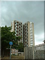
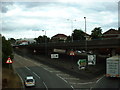
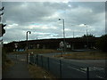

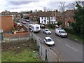

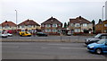
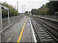
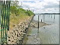
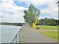
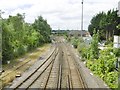
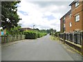
84 photos from this area
Area Information
Key information about the SO15 0NN including its size, population, and administrative classification.
- Area Type
- Postcode
- Area Size
- 3.2 hectares
- Population
- 1465
- Population Density
- 472 people/km²
House Prices in SO15 0NN
14
Properties
£176,990
Average Sold Price
£99,950
Lowest Price
£260,000
Highest Price
Showing 14 properties
| Address | Type | Beds | Baths | Last Sale Price | Last Sale Date | |
|---|---|---|---|---|---|---|
| 35 Old Redbridge Road, Southampton, SO15 0NN | house | - | - | £260,000 | Apr 2024 | |
| Ivy House, 45 Old Redbridge Road, Southampton, SO15 0NN | Semi-detached | 2 | 1 | £195,000 | Dec 2015 | |
| 47 Old Redbridge Road, Southampton, SO15 0NN | house | 2 | - | £220,000 | Jul 2004 | |
| 37 Old Redbridge Road, Southampton, SO15 0NN | house | - | - | £110,000 | Sep 2000 | |
| 31 Old Redbridge Road, Southampton, SO15 0NN | house | - | - | £99,950 | May 2000 | |
| Flat Above, 41 Old Redbridge Road, Southampton, SO15 0NN | Flat | - | - | - | - | |
| Online Contractors Uk, Unit 1, Redbridge Business Park, Old Redbridge Road, Southampton, SO15 0NN | Office | - | - | - | - | |
| 33 Old Redbridge Road, Southampton, SO15 0NN | Terraced | - | - | - | - | |
| Flat 1, 49 Old Redbridge Road, Southampton, SO15 0NN | Flat | - | - | - | - | |
| Flat 3, 49 Old Redbridge Road, Southampton, SO15 0NN | Flat | - | - | - | - |
Page 1 of 2
Energy Efficiency in SO15 0NN
Amenities
Schools
| Rank | School | Type | Entry gender | Ages |
|---|
Explore more schools in this area
Go to Schools tabDemographics
Household Size
Two person
most common
Accommodation Type
Houses
most common
Tenure
59
majority
Ethnic Group
White
most common
Religion
N/A
most common
Household Composition
N/A
most common
Age
47
median
Adults (30-64 years)
most common
Household Deprivation
N/A
with no deprivation
NS-SEC
29
in Lower managerial occupations
Explore more demographic insights in this area
Go to Demographics tabPlanning
Planning Constraints
- Flood RiskPremium
- Ramsar Wetland SitesPremium
- Area of Outstanding Natural BeautyPremium
- Protected Nature ReservePremium
- Protected WoodlandPremium