Area Overview for SO14 0DA
Photos of SO14 0DA
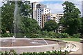
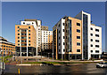
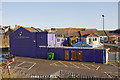
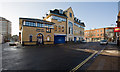
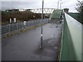
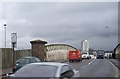
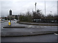
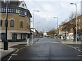
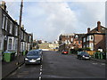
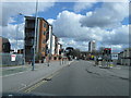
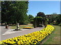
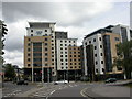
100 photos from this area
Area Information
Key information about the SO14 0DA including its size, population, and administrative classification.
- Area Type
- Postcode
- Area Size
- 5.1 hectares
- Population
- 2833
- Population Density
- 6779 people/km²
House Prices in SO14 0DA
5
Properties
-
Average Sold Price
-
Lowest Price
-
Highest Price
Showing 5 properties
| Address | Type | Beds | Baths | Last Sale Price | Last Sale Date | |
|---|---|---|---|---|---|---|
| 24 St Andrews Road, Southampton, SO14 0DA | undefined | - | - | - | - | |
| East Park Public Conveniences, East Park Terrace, Southampton, SO14 0DA | commercial | - | - | - | - | |
| Tennis 26M From Flying Auburgine, East Park Pavilion, East Park Terrace 20M From Unnamed R, East Park Footpaths, Southampton, SO14 0DA | Leisure | - | - | - | - | |
| Cafe Nautical Mile, East Park Pavilion, 1 East Park Terrace, Southampton, SO14 0DA | Restaurant | - | - | - | - | |
| East Park Bowling Green, Park Walk, Southampton, SO14 0DA | Leisure | - | - | - | - |
Energy Efficiency in SO14 0DA
Amenities
Schools
| Rank | School | Type | Entry gender | Ages |
|---|
Explore more schools in this area
Go to Schools tabDemographics
Household Size
One person
most common
Accommodation Type
Flats
most common
Tenure
15
majority
Ethnic Group
White
most common
Religion
N/A
most common
Household Composition
N/A
most common
Age
22
median
Young Adults (15-29 years)
most common
Household Deprivation
N/A
with no deprivation
NS-SEC
13
in Lower managerial occupations
Explore more demographic insights in this area
Go to Demographics tabPlanning
Planning Constraints
- Flood RiskPremium
- Ramsar Wetland SitesPremium
- Area of Outstanding Natural BeautyPremium
- Protected Nature ReservePremium
- Protected WoodlandPremium