Area Overview for SN7 8DJ
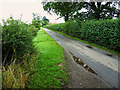
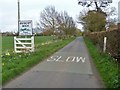
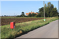
Photos of SN7 8DJ
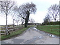
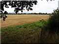
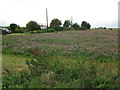
![On the bridleway [5] in SN7 8DJ](https://images.propbar.co.uk/images/geograph/61/22/6122615_120.jpg)
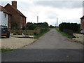
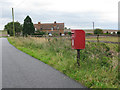
![Three ways to go [1] in SN7 8DJ](https://images.propbar.co.uk/images/geograph/61/22/6122661_120.jpg)
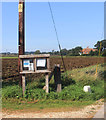
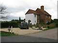
21 photos from this area
Area Information
Key information about the SN7 8DJ including its size, population, and administrative classification.
- Area Type
- Postcode
- Area Size
- 1.7 km²
- Population
- 2351
- Population Density
- 66 people/km²
House Prices in SN7 8DJ
5
Properties
£690,000
Average Sold Price
£690,000
Lowest Price
£690,000
Highest Price
Showing 5 properties
| Address | Type | Beds | Baths | Last Sale Price | Last Sale Date | |
|---|---|---|---|---|---|---|
| Old Timbers, Road Through Buscot Wick, Buscot Wick, Faringdon, SN7 8DJ | house | 4 | 3 | £690,000 | Jun 2014 | |
| Buscot Wick Farm, Road Through Buscot Wick, Buscot Wick, Faringdon, SN7 8DJ | Semi-detached | 4 | 3 | - | - | |
| Halfpenny Cottage, Road Through Buscot Wick, Buscot Wick, Faringdon, SN7 8DJ | house | 3 | - | - | - | |
| White House, Road Through Buscot Wick, Buscot Wick, Faringdon, SN7 8DJ | Detached | - | - | - | - | |
| Tennis 33M From The Kinch Partnership Llp, Buscot Wick Farm 15M From Unnamed Road, Road Through Buscot Wick, Buscot Wick, Faringdon, SN7 8DJ | Leisure | - | - | - | - |
Energy Efficiency in SN7 8DJ
Amenities
Schools
| Rank | School | Type | Entry gender | Ages |
|---|
Explore more schools in this area
Go to Schools tabDemographics
Household Size
Two person
most common
Accommodation Type
Houses
most common
Tenure
69
majority
Ethnic Group
White
most common
Religion
N/A
most common
Household Composition
N/A
most common
Age
47
median
Adults (30-64 years)
most common
Household Deprivation
N/A
with no deprivation
NS-SEC
48
in Lower managerial occupations
Explore more demographic insights in this area
Go to Demographics tabPlanning
Planning Constraints
- Flood RiskPremium
- Ramsar Wetland SitesPremium
- Area of Outstanding Natural BeautyPremium
- Protected Nature ReservePremium
- Protected WoodlandPremium