Area Overview for SN7 8AR
Photos of SN7 8AR
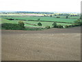
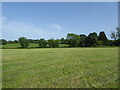
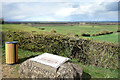
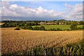
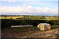
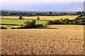
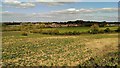
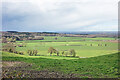
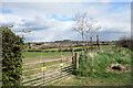
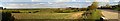
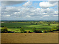
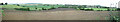
12 photos from this area
Area Information
Key information about the SN7 8AR including its size, population, and administrative classification.
- Area Type
- Postcode
- Area Size
- 37.6 hectares
- Population
- 1553
- Population Density
- 149 people/km²
House Prices in SN7 8AR
12
Properties
£408,563
Average Sold Price
£123,500
Lowest Price
£790,000
Highest Price
Showing 12 properties
| Address | Type | Beds | Baths | Last Sale Price | Last Sale Date | |
|---|---|---|---|---|---|---|
| Nettlecombe, Canada Lane, Faringdon, SN7 8AR | Terraced | 3 | 2 | £750,000 | Sep 2017 | |
| Field House, Canada Lane, Faringdon, SN7 8AR | house | - | - | £790,000 | Sep 2017 | |
| Uplands Cottage, Canada Lane, Faringdon, SN7 8AR | Detached | 3 | 2 | £295,000 | May 2016 | |
| Landview, Canada Lane, Faringdon, SN7 8AR | Semi-detached | 2 | 1 | £270,000 | May 2015 | |
| Meadow View, Canada Lane, Faringdon, SN7 8AR | house | - | - | £555,000 | Jan 2010 | |
| Downham, Canada Lane, Faringdon, SN7 8AR | Terraced | 3 | 3 | £345,000 | Nov 2002 | |
| The Glories, Canada Lane, Faringdon, SN7 8AR | house | - | - | £140,000 | Apr 1997 | |
| Lowenva, Canada Lane, Faringdon, SN7 8AR | house | - | - | £123,500 | May 1995 | |
| Banff, Canada Lane, Faringdon, SN7 8AR | Bungalow | 2 | 1 | - | - | |
| The Long View, Canada Lane, Faringdon, SN7 8AR | Detached | 4 | 3 | - | - |
Page 1 of 2
Energy Efficiency in SN7 8AR
Amenities
Schools
| Rank | School | Type | Entry gender | Ages |
|---|
Explore more schools in this area
Go to Schools tabDemographics
Household Size
One person
most common
Accommodation Type
Houses
most common
Tenure
52
majority
Ethnic Group
White
most common
Religion
N/A
most common
Household Composition
N/A
most common
Age
47
median
Adults (30-64 years)
most common
Household Deprivation
N/A
with no deprivation
NS-SEC
41
in Lower managerial occupations
Explore more demographic insights in this area
Go to Demographics tabPlanning
Planning Constraints
- Flood RiskPremium
- Ramsar Wetland SitesPremium
- Area of Outstanding Natural BeautyPremium
- Protected Nature ReservePremium
- Protected WoodlandPremium