Area Overview for SN7 7TZ
Photos of SN7 7TZ
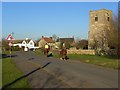
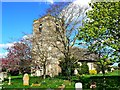
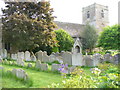
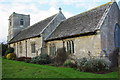
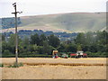
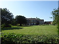
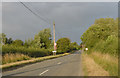
60 photos from this area
Area Information
Key information about the SN7 7TZ including its size, population, and administrative classification.
- Area Type
- Postcode
- Area Size
- 5172 m²
- Population
- 1511
- Population Density
- 115 people/km²
House Prices in SN7 7TZ
5
Properties
£468,125
Average Sold Price
£240,000
Lowest Price
£780,000
Highest Price
Showing 5 properties
| Address | Type | Beds | Baths | Last Sale Price | Last Sale Date | |
|---|---|---|---|---|---|---|
| The Byre, Kings Lane, Longcot, Faringdon, SN7 7TZ | Bungalow | - | - | £780,000 | Jan 2021 | |
| Hanbury House, Kings Lane, Longcot, Faringdon, SN7 7TZ | Detached | 5 | 2 | £517,500 | Sep 2017 | |
| Brambles, Kings Lane, Longcot, Faringdon, SN7 7TZ | Land | 4 | - | £335,000 | Sep 2004 | |
| The Gables, Kings Lane, Longcot, Faringdon, SN7 7TZ | Detached | - | - | £240,000 | Jul 2001 | |
| Red Gables, Kings Lane, Longcot, Faringdon, SN7 7TZ | Detached | - | - | - | - |
Energy Efficiency in SN7 7TZ
Amenities
Schools
| Rank | School | Type | Entry gender | Ages |
|---|
Explore more schools in this area
Go to Schools tabDemographics
Household Size
Family (3-5 people)
most common
Accommodation Type
Houses
most common
Tenure
55
majority
Ethnic Group
White
most common
Religion
N/A
most common
Household Composition
N/A
most common
Age
47
median
Adults (30-64 years)
most common
Household Deprivation
N/A
with no deprivation
NS-SEC
53
in Lower managerial occupations
Explore more demographic insights in this area
Go to Demographics tabPlanning
Planning Constraints
- Flood RiskPremium
- Ramsar Wetland SitesPremium
- Area of Outstanding Natural BeautyPremium
- Protected Nature ReservePremium
- Protected WoodlandPremium