Area Overview for SN7 7RR
Photos of SN7 7RR
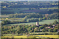
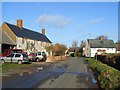
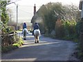
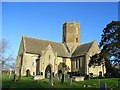
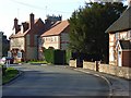
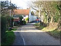
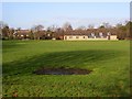

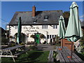
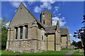
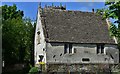

85 photos from this area
Area Information
Key information about the SN7 7RR including its size, population, and administrative classification.
- Area Type
- Postcode
- Area Size
- 4.0 hectares
- Population
- 2557
- Population Density
- 31 people/km²
House Prices in SN7 7RR
11
Properties
£348,978
Average Sold Price
£84,000
Lowest Price
£711,000
Highest Price
Showing 11 properties
| Address | Type | Beds | Baths | Last Sale Price | Last Sale Date | |
|---|---|---|---|---|---|---|
| 9 Waylands, Uffington, Faringdon, SN7 7RR | Detached | 5 | 3 | £711,000 | Mar 2024 | |
| 10 Waylands, Uffington, Faringdon, SN7 7RR | Detached | 5 | 3 | £705,077 | Mar 2023 | |
| 3 Waylands, Uffington, Faringdon, SN7 7RR | house | 2 | - | £220,000 | Oct 2015 | |
| 11 Waylands, Uffington, Faringdon, SN7 7RR | Detached | 4 | 2 | £373,750 | Aug 2015 | |
| 4 Waylands, Uffington, Faringdon, SN7 7RR | Semi-detached | 2 | 1 | £185,000 | Jan 2013 | |
| 8 Waylands, Uffington, Faringdon, SN7 7RR | Semi-detached | 3 | 1 | £243,000 | Jul 2012 | |
| 1 Waylands, Uffington, Faringdon, SN7 7RR | Flat | - | - | £84,000 | Sep 2007 | |
| 7 Waylands, Uffington, Faringdon, SN7 7RR | Semi-detached | 3 | 2 | £270,000 | Feb 2007 | |
| 5 Waylands, Uffington, Faringdon, SN7 7RR | Maisonette | 1 | 1 | - | - | |
| 2 Waylands, Uffington, Faringdon, SN7 7RR | Maisonette | 1 | 1 | - | - |
Page 1 of 2
Energy Efficiency in SN7 7RR
Amenities
Schools
| Rank | School | Type | Entry gender | Ages |
|---|
Explore more schools in this area
Go to Schools tabDemographics
Household Size
Two person
most common
Accommodation Type
Houses
most common
Tenure
69
majority
Ethnic Group
White
most common
Religion
N/A
most common
Household Composition
N/A
most common
Age
47
median
Adults (30-64 years)
most common
Household Deprivation
N/A
with no deprivation
NS-SEC
45
in Lower managerial occupations
Explore more demographic insights in this area
Go to Demographics tabPlanning
Planning Constraints
- Flood RiskPremium
- Ramsar Wetland SitesPremium
- Area of Outstanding Natural BeautyPremium
- Protected Nature ReservePremium
- Protected WoodlandPremium