Area Overview for SN6 8JA
Photos of SN6 8JA
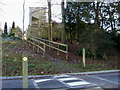
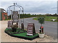
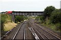

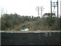
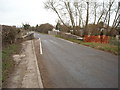
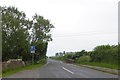
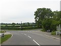
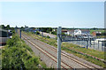
38 photos from this area
Area Information
Key information about the SN6 8JA including its size, population, and administrative classification.
- Area Type
- Postcode
- Area Size
- 7.9 hectares
- Population
- 1638
- Population Density
- 241 people/km²
House Prices in SN6 8JA
18
Properties
£621,000
Average Sold Price
£330,000
Lowest Price
£1,200,000
Highest Price
Showing 18 properties
| Address | Type | Beds | Baths | Last Sale Price | Last Sale Date | |
|---|---|---|---|---|---|---|
| 3 The Hill, Bourton, Swindon, SN6 8JA | Terraced | 4 | 2 | £430,000 | Mar 2024 | |
| St Osyth, The Hill, Bourton, Swindon, SN6 8JA | Semi-detached | 3 | 1 | £360,000 | Jan 2024 | |
| Tower House, Road Running Through Bourton To Hinton Marsh Farm, Bourton, Swindon, SN6 8JA | house | 4 | 2 | £1,200,000 | Aug 2022 | |
| Barnside, The Hill, Bourton, Swindon, SN6 8JA | Retail | 4 | 1 | £630,000 | Jul 2022 | |
| St Aubins, The Hill, Bourton, Swindon, SN6 8JA | house | - | - | £710,000 | Nov 2019 | |
| Hill Cottage, Road Running Through Bourton To Hinton Marsh Farm, Bourton, Swindon, SN6 8JA | Cottage | 2 | 1 | £368,000 | Sep 2016 | |
| The Manse, The Hill, Bourton, Swindon, SN6 8JA | Detached | 5 | 3 | £940,000 | Jul 2014 | |
| 2 The Hill, Bourton, Swindon, SN6 8JA | house | 5 | - | £330,000 | Jul 2011 | |
| 4 The Hill, Bourton, Swindon, SN6 8JA | Detached | 4 | 1 | - | - | |
| Lower Barn, The Hill, Bourton, Swindon, SN6 8JA | house | 5 | 3 | - | - |
Page 1 of 2
Energy Efficiency in SN6 8JA
Amenities
Schools
| Rank | School | Type | Entry gender | Ages |
|---|
Explore more schools in this area
Go to Schools tabDemographics
Household Size
Two person
most common
Accommodation Type
Houses
most common
Tenure
76
majority
Ethnic Group
White
most common
Religion
N/A
most common
Household Composition
N/A
most common
Age
47
median
Adults (30-64 years)
most common
Household Deprivation
N/A
with no deprivation
NS-SEC
44
in Lower managerial occupations
Explore more demographic insights in this area
Go to Demographics tabPlanning
Planning Constraints
- Flood RiskPremium
- Ramsar Wetland SitesPremium
- Area of Outstanding Natural BeautyPremium
- Protected Nature ReservePremium
- Protected WoodlandPremium