Area Overview for SM7 3ES
Photos of SM7 3ES
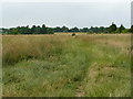
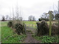
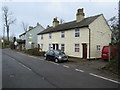

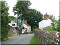
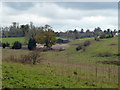
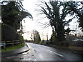
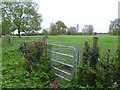
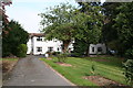
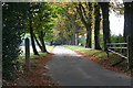
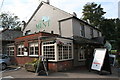
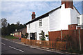
30 photos from this area
Area Information
Key information about the SM7 3ES including its size, population, and administrative classification.
- Area Type
- Postcode
- Area Size
- 2.2 hectares
- Population
- 1366
- Population Density
- 1327 people/km²
House Prices in SM7 3ES
9
Properties
£890,833
Average Sold Price
£230,000
Lowest Price
£1,450,000
Highest Price
Showing 9 properties
| Address | Type | Beds | Baths | Last Sale Price | Last Sale Date | |
|---|---|---|---|---|---|---|
| The Well Nigh, 8 Woodmansterne Lane, Banstead, SM7 3ES | Detached | 4 | 2 | £1,230,000 | Aug 2020 | |
| Well Farm House, 4 Woodmansterne Lane, Banstead, SM7 3ES | Terraced | 4 | 2 | £1,300,000 | Nov 2018 | |
| Stone Lanterns, 2 Woodmansterne Lane, Banstead, SM7 3ES | Detached | 3 | 2 | £1,450,000 | Jan 2014 | |
| Woodpeckers Hollow, 20 Woodmansterne Lane, Banstead, SM7 3ES | Detached | - | - | £750,000 | Mar 2008 | |
| Winterbourne, 12 Woodmansterne Lane, Banstead, SM7 3ES | Detached | 4 | - | £385,000 | Jan 1999 | |
| Harlyn, 18 Woodmansterne Lane, Banstead, SM7 3ES | Detached | - | - | £230,000 | Jul 1995 | |
| Meadow End, 16 Woodmansterne Lane, Banstead, SM7 3ES | house | - | - | - | - | |
| The Well End, 10 Woodmansterne Lane, Banstead, SM7 3ES | Detached | - | - | - | - | |
| Greenhurst, 14 Woodmansterne Lane, Banstead, SM7 3ES | Detached | - | - | - | - |
Energy Efficiency in SM7 3ES
Amenities
Schools
| Rank | School | Type | Entry gender | Ages |
|---|
Explore more schools in this area
Go to Schools tabDemographics
Household Size
Two person
most common
Accommodation Type
Houses
most common
Tenure
80
majority
Ethnic Group
White
most common
Religion
N/A
most common
Household Composition
N/A
most common
Age
47
median
Adults (30-64 years)
most common
Household Deprivation
N/A
with no deprivation
NS-SEC
44
in Lower managerial occupations
Explore more demographic insights in this area
Go to Demographics tabPlanning
Planning Constraints
- Flood RiskPremium
- Ramsar Wetland SitesPremium
- Area of Outstanding Natural BeautyPremium
- Protected Nature ReservePremium
- Protected WoodlandPremium