Area Overview for SM7 3AF
Photos of SM7 3AF
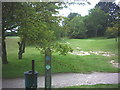
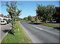
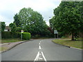
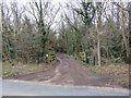
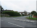
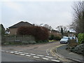
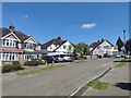
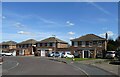
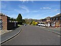
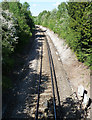
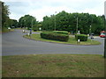
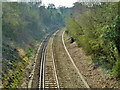
33 photos from this area
Area Information
Key information about the SM7 3AF including its size, population, and administrative classification.
- Area Type
- Postcode
- Area Size
- 1.3 hectares
- Population
- 1366
- Population Density
- 1327 people/km²
House Prices in SM7 3AF
12
Properties
£630,375
Average Sold Price
£245,000
Lowest Price
£1,015,000
Highest Price
Showing 12 properties
| Address | Type | Beds | Baths | Last Sale Price | Last Sale Date | |
|---|---|---|---|---|---|---|
| Tara, 4 Croydon Lane South, Banstead, SM7 3AF | Detached | 4 | 2 | £1,015,000 | Sep 2021 | |
| Arden, 1 Croydon Lane South, Banstead, SM7 3AF | Detached | 3 | 1 | £720,000 | Aug 2019 | |
| Elmcroft, 10 Croydon Lane South, Banstead, SM7 3AF | Detached | 3 | 1 | £850,000 | Jan 2018 | |
| Sherbrooke, 11 Croydon Lane South, Banstead, SM7 3AF | house | 4 | 2 | £855,000 | Sep 2016 | |
| Cefnglas, 7 Croydon Lane South, Banstead, SM7 3AF | house | - | - | £780,000 | Nov 2015 | |
| Wadine, 3 Croydon Lane South, Banstead, SM7 3AF | house | - | - | £765,000 | Aug 2015 | |
| Stone Lantern, 9 Croydon Lane South, Banstead, SM7 3AF | house | - | - | £535,000 | Oct 2010 | |
| Glencoe, 12 Croydon Lane South, Banstead, SM7 3AF | house | - | - | £540,000 | Aug 2010 | |
| West Wood, 8 Croydon Lane South, Banstead, SM7 3AF | house | - | - | £535,000 | Jun 2009 | |
| Northbury, 2 Croydon Lane South, Banstead, SM7 3AF | Detached | - | - | £425,000 | May 2005 |
Page 1 of 2
Energy Efficiency in SM7 3AF
Amenities
Schools
| Rank | School | Type | Entry gender | Ages |
|---|
Explore more schools in this area
Go to Schools tabDemographics
Household Size
Two person
most common
Accommodation Type
Houses
most common
Tenure
80
majority
Ethnic Group
White
most common
Religion
N/A
most common
Household Composition
N/A
most common
Age
47
median
Adults (30-64 years)
most common
Household Deprivation
N/A
with no deprivation
NS-SEC
44
in Lower managerial occupations
Explore more demographic insights in this area
Go to Demographics tabPlanning
Planning Constraints
- Flood RiskPremium
- Ramsar Wetland SitesPremium
- Area of Outstanding Natural BeautyPremium
- Protected Nature ReservePremium
- Protected WoodlandPremium