Area Overview for SM7 2NT
Photos of SM7 2NT
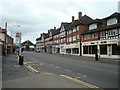
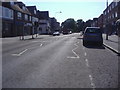
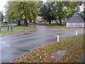
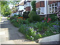
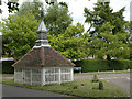
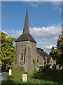
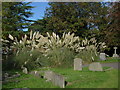
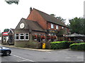
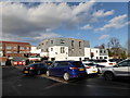
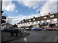
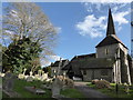
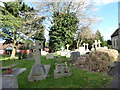
58 photos from this area
Area Information
Key information about the SM7 2NT including its size, population, and administrative classification.
- Area Type
- Postcode
- Area Size
- 4356 m²
- Population
- 1589
- Population Density
- 3345 people/km²
House Prices in SM7 2NT
20
Properties
£288,333
Average Sold Price
£50,000
Lowest Price
£465,000
Highest Price
Showing 20 properties
| Address | Type | Beds | Baths | Last Sale Price | Last Sale Date | |
|---|---|---|---|---|---|---|
| 171A High Street, Banstead, SM7 2NT | Flat | 3 | 1 | £350,000 | Aug 2024 | |
| 167A High Street, Banstead, SM7 2NT | Flat | - | - | £465,000 | Nov 2021 | |
| 151A High Street, Banstead, SM7 2NT | Maisonette | - | - | £50,000 | Jul 2007 | |
| 159A High Street, Banstead, SM7 2NT | Maisonette | 3 | - | - | - | |
| 169A High Street, Banstead, SM7 2NT | Flat | - | - | - | - | |
| Such Hair, 165 High Street, Banstead, SM7 2NT | retail_financial | - | - | - | - | |
| 173A High Street, Banstead, SM7 2NT | Flat | - | - | - | - | |
| 143B High Street, Banstead, SM7 2NT | Flat | 2 | - | - | - | |
| 147A High Street, Banstead, SM7 2NT | Maisonette | 3 | - | - | - | |
| 149A High Street, Banstead, SM7 2NT | Maisonette | - | - | - | - |
Page 1 of 2
Energy Efficiency in SM7 2NT
Amenities
Schools
| Rank | School | Type | Entry gender | Ages |
|---|
Explore more schools in this area
Go to Schools tabDemographics
Household Size
One person
most common
Accommodation Type
Flats
most common
Tenure
71
majority
Ethnic Group
White
most common
Religion
N/A
most common
Household Composition
N/A
most common
Age
47
median
Adults (30-64 years)
most common
Household Deprivation
N/A
with no deprivation
NS-SEC
39
in Lower managerial occupations
Explore more demographic insights in this area
Go to Demographics tabPlanning
Planning Constraints
- Flood RiskPremium
- Ramsar Wetland SitesPremium
- Area of Outstanding Natural BeautyPremium
- Protected Nature ReservePremium
- Protected WoodlandPremium