Area Overview for SM7 1LA
Photos of SM7 1LA
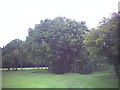
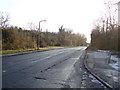
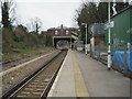
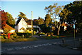
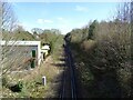
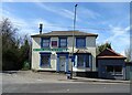
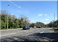
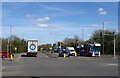
36 photos from this area
Area Information
Key information about the SM7 1LA including its size, population, and administrative classification.
- Area Type
- Postcode
- Area Size
- 2.7 hectares
- Population
- 1512
- Population Density
- 3562 people/km²
House Prices in SM7 1LA
41
Properties
£537,461
Average Sold Price
£225,000
Lowest Price
£855,000
Highest Price
Showing 41 properties
| Address | Type | Beds | Baths | Last Sale Price | Last Sale Date | |
|---|---|---|---|---|---|---|
| 28 Warren Road, Banstead, SM7 1LA | Bungalow | 3 | 2 | £675,000 | Dec 2024 | |
| 14 Warren Road, Banstead, SM7 1LA | Detached | 4 | 2 | £855,000 | Jul 2024 | |
| 52 Warren Road, Banstead, SM7 1LA | Bungalow | 2 | 1 | £695,000 | Nov 2022 | |
| 26 Warren Road, Banstead, SM7 1LA | Detached | 4 | 2 | £770,000 | Jun 2021 | |
| 42 Warren Road, Banstead, SM7 1LA | Detached | 3 | 2 | £810,000 | Jun 2021 | |
| 70 Warren Road, Banstead, SM7 1LA | Semi-detached | 3 | 1 | £545,000 | Sep 2019 | |
| 60 Warren Road, Banstead, SM7 1LA | Detached | 4 | 2 | £718,000 | May 2019 | |
| 24 Warren Road, Banstead, SM7 1LA | Detached | 4 | 1 | £742,000 | Jun 2018 | |
| Oaklands, 76 Warren Road, Banstead, SM7 1LA | Semi-detached | 3 | 2 | £575,000 | Jan 2018 | |
| 18 Warren Road, Banstead, SM7 1LA | Detached | 4 | 1 | £660,000 | Jan 2017 |
Page 1 of 5
Energy Efficiency in SM7 1LA
Amenities
Schools
| Rank | School | Type | Entry gender | Ages |
|---|
Explore more schools in this area
Go to Schools tabDemographics
Household Size
Family (3-5 people)
most common
Accommodation Type
Houses
most common
Tenure
93
majority
Ethnic Group
White
most common
Religion
N/A
most common
Household Composition
N/A
most common
Age
47
median
Adults (30-64 years)
most common
Household Deprivation
N/A
with no deprivation
NS-SEC
47
in Lower managerial occupations
Explore more demographic insights in this area
Go to Demographics tabPlanning
Planning Constraints
- Flood RiskPremium
- Ramsar Wetland SitesPremium
- Area of Outstanding Natural BeautyPremium
- Protected Nature ReservePremium
- Protected WoodlandPremium