Area Overview for SM7 1BE
Photos of SM7 1BE
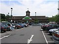
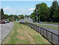
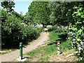
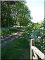
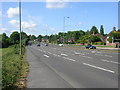
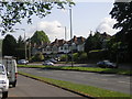
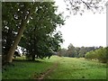
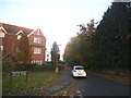

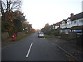
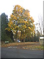
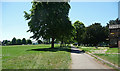
24 photos from this area
Area Information
Key information about the SM7 1BE including its size, population, and administrative classification.
- Area Type
- Postcode
- Area Size
- 2.0 hectares
- Population
- 1308
- Population Density
- 3619 people/km²
House Prices in SM7 1BE
10
Properties
£303,939
Average Sold Price
£156,000
Lowest Price
£485,000
Highest Price
Showing 10 properties
| Address | Type | Beds | Baths | Last Sale Price | Last Sale Date | |
|---|---|---|---|---|---|---|
| Fieldview, 75 Brighton Road, Banstead, SM7 1BE | Semi-detached | 3 | 1 | £480,000 | Dec 2023 | |
| Colinbourne, 73 Brighton Road, Banstead, SM7 1BE | Semi-detached | 3 | 1 | £485,000 | Sep 2021 | |
| The Nutshell, 85 Brighton Road, Banstead, SM7 1BE | Semi-detached | 3 | 1 | £400,000 | Jun 2016 | |
| Clovelly, 81 Brighton Road, Banstead, SM7 1BE | house | 3 | - | £249,950 | Oct 2011 | |
| Holly Trees, 83 Brighton Road, Banstead, SM7 1BE | Semi-detached | 3 | 1 | £227,500 | Aug 2009 | |
| Highbank, 71 Brighton Road, Banstead, SM7 1BE | house | - | - | £247,000 | Jun 2009 | |
| Marazion, 77 Brighton Road, Banstead, SM7 1BE | Semi-detached | - | - | £240,000 | Mar 2007 | |
| Caudry, 87 Brighton Road, Banstead, SM7 1BE | Semi-detached | 3 | 1 | £250,000 | Dec 2006 | |
| Ranworth, 89 Brighton Road, Banstead, SM7 1BE | Detached | - | - | £156,000 | Aug 1998 | |
| Franklyn, 79 Brighton Road, Banstead, SM7 1BE | Semi-detached | - | - | - | - |
Energy Efficiency in SM7 1BE
Amenities
Schools
| Rank | School | Type | Entry gender | Ages |
|---|
Explore more schools in this area
Go to Schools tabDemographics
Household Size
Family (3-5 people)
most common
Accommodation Type
Houses
most common
Tenure
69
majority
Ethnic Group
White
most common
Religion
N/A
most common
Household Composition
N/A
most common
Age
47
median
Adults (30-64 years)
most common
Household Deprivation
N/A
with no deprivation
NS-SEC
42
in Lower managerial occupations
Explore more demographic insights in this area
Go to Demographics tabPlanning
Planning Constraints
- Flood RiskPremium
- Ramsar Wetland SitesPremium
- Area of Outstanding Natural BeautyPremium
- Protected Nature ReservePremium
- Protected WoodlandPremium