Area Overview for SM2 7LF
Photos of SM2 7LF
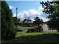
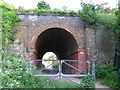
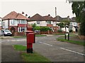
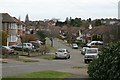
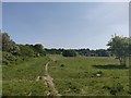
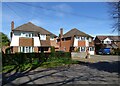
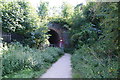
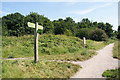
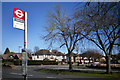
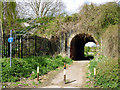
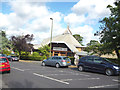
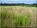
29 photos from this area
Area Information
Key information about the SM2 7LF including its size, population, and administrative classification.
- Area Type
- Postcode
- Area Size
- 2.7 hectares
- Population
- 1706
- Population Density
- 792 people/km²
House Prices in SM2 7LF
23
Properties
£618,933
Average Sold Price
£172,500
Lowest Price
£1,050,000
Highest Price
Showing 23 properties
| Address | Type | Beds | Baths | Last Sale Price | Last Sale Date | |
|---|---|---|---|---|---|---|
| 63 Nonsuch Walk, Cheam, SM2 7LF | Detached | 3 | 1 | £880,000 | Jul 2025 | |
| 79 Nonsuch Walk, Cheam, SM2 7LF | house | - | - | £1,050,000 | Sep 2022 | |
| 61 Nonsuch Walk, Cheam, SM2 7LF | house | - | - | £875,000 | Feb 2022 | |
| 67 Nonsuch Walk, Cheam, SM2 7LF | house | - | - | £735,000 | Feb 2021 | |
| 87 Nonsuch Walk, Cheam, SM2 7LF | Detached | 4 | 2 | £860,000 | Aug 2019 | |
| 81 Nonsuch Walk, Cheam, SM2 7LF | Detached | 5 | 2 | £900,000 | Jul 2019 | |
| 85 Nonsuch Walk, Cheam, SM2 7LF | Detached | 4 | - | £795,000 | Aug 2018 | |
| 99 Nonsuch Walk, Cheam, SM2 7LF | Semi-detached | 4 | 2 | £585,000 | Jul 2013 | |
| 65 Nonsuch Walk, Cheam, SM2 7LF | Detached | - | - | £655,000 | Jun 2007 | |
| 101 Nonsuch Walk, Cheam, SM2 7LF | Detached | - | - | £650,000 | Jan 2007 |
Page 1 of 3
Energy Efficiency in SM2 7LF
Amenities
Schools
| Rank | School | Type | Entry gender | Ages |
|---|
Explore more schools in this area
Go to Schools tabDemographics
Household Size
Family (3-5 people)
most common
Accommodation Type
Houses
most common
Tenure
96
majority
Ethnic Group
White
most common
Religion
N/A
most common
Household Composition
N/A
most common
Age
47
median
Adults (30-64 years)
most common
Household Deprivation
N/A
with no deprivation
NS-SEC
56
in Lower managerial occupations
Explore more demographic insights in this area
Go to Demographics tabPlanning
Planning Constraints
- Flood RiskPremium
- Ramsar Wetland SitesPremium
- Area of Outstanding Natural BeautyPremium
- Protected Nature ReservePremium
- Protected WoodlandPremium