Area Overview for SM2 7HS
Photos of SM2 7HS
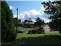
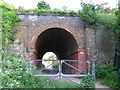
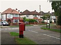
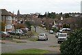
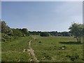
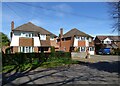
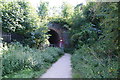
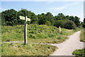
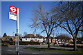
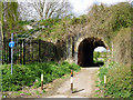
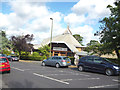
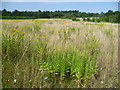
29 photos from this area
Area Information
Key information about the SM2 7HS including its size, population, and administrative classification.
- Area Type
- Postcode
- Area Size
- 1.8 hectares
- Population
- Not available
- Population Density
- Not available
House Prices in SM2 7HS
18
Properties
£477,500
Average Sold Price
£123,000
Lowest Price
£1,000,000
Highest Price
Showing 18 properties
| Address | Type | Beds | Baths | Last Sale Price | Last Sale Date | |
|---|---|---|---|---|---|---|
| 33 Northey Avenue, Cheam, SM2 7HS | Detached | 3 | 3 | £770,000 | Sep 2023 | |
| 43 Northey Avenue, Cheam, SM2 7HS | house | - | - | £992,000 | Sep 2021 | |
| 41 Northey Avenue, Cheam, SM2 7HS | Detached | 4 | 1 | £1,000,000 | Jun 2021 | |
| 29 Northey Avenue, Cheam, SM2 7HS | Detached | 5 | 2 | £610,000 | Aug 2010 | |
| 51 Northey Avenue, Cheam, SM2 7HS | Detached | - | - | £460,000 | Mar 2007 | |
| 47 Northey Avenue, Cheam, SM2 7HS | Detached | 4 | - | £360,000 | Apr 2006 | |
| 25 Northey Avenue, Cheam, SM2 7HS | Detached | - | - | £399,000 | Jan 2006 | |
| 45 Northey Avenue, Cheam, SM2 7HS | Detached | 4 | 2 | £358,000 | Jul 2004 | |
| 49 Northey Avenue, Cheam, SM2 7HS | Detached | - | - | £280,000 | Aug 2001 | |
| 19 Northey Avenue, Cheam, SM2 7HS | Detached | 3 | 1 | £228,000 | Dec 1999 |
Page 1 of 2
Energy Efficiency in SM2 7HS
Amenities
Schools
| Rank | School | Type | Entry gender | Ages |
|---|
Explore more schools in this area
Go to Schools tabDemographics
Household Size
Family (3-5 people)
most common
Accommodation Type
Houses
most common
Tenure
96
majority
Ethnic Group
White
most common
Religion
N/A
most common
Household Composition
N/A
most common
Age
47
median
Adults (30-64 years)
most common
Household Deprivation
N/A
with no deprivation
NS-SEC
51
in Lower managerial occupations
Explore more demographic insights in this area
Go to Demographics tabPlanning
Planning Constraints
- Flood RiskPremium
- Ramsar Wetland SitesPremium
- Area of Outstanding Natural BeautyPremium
- Protected Nature ReservePremium
- Protected WoodlandPremium