Area Overview for SL9 8PT
Photos of SL9 8PT
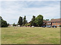
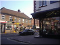
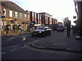
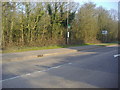
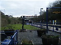
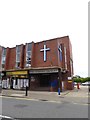
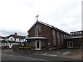
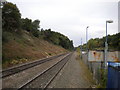
55 photos from this area
Area Information
Key information about the SL9 8PT including its size, population, and administrative classification.
- Area Type
- Postcode
- Area Size
- 1.1 hectares
- Population
- 1782
- Population Density
- 1587 people/km²
House Prices in SL9 8PT
8
Properties
£879,125
Average Sold Price
£342,500
Lowest Price
£1,800,000
Highest Price
Showing 8 properties
| Address | Type | Beds | Baths | Last Sale Price | Last Sale Date | |
|---|---|---|---|---|---|---|
| Rampos Edge, 19 Orchehill Avenue, Gerrards Cross, SL9 8PT | house | 5 | 2 | £1,800,000 | Mar 2021 | |
| Littlefield, 15 Orchehill Avenue, Gerrards Cross, SL9 8PT | Detached | 4 | 3 | £930,000 | Sep 2004 | |
| Dunelm, 25 Orchehill Avenue, Gerrards Cross, SL9 8PT | Terraced | - | - | £444,000 | Oct 1998 | |
| 1 Orchehill Avenue, Gerrards Cross, SL9 8PT | Detached | - | - | £342,500 | Jul 1995 | |
| Carey House, 21 Orchehill Avenue, Gerrards Cross, SL9 8PT | Detached | - | - | - | - | |
| Little Birch, 3 Orchehill Avenue, Gerrards Cross, SL9 8PT | house | - | - | - | - | |
| Lynton, 23 Orchehill Avenue, Gerrards Cross, SL9 8PT | Detached | - | - | - | - | |
| Holly House, 17 Orchehill Avenue, Gerrards Cross, SL9 8PT | Detached | - | - | - | - |
Energy Efficiency in SL9 8PT
Amenities
Schools
| Rank | School | Type | Entry gender | Ages |
|---|
Explore more schools in this area
Go to Schools tabDemographics
Household Size
One person
most common
Accommodation Type
Houses
most common
Tenure
61
majority
Ethnic Group
White
most common
Religion
N/A
most common
Household Composition
N/A
most common
Age
47
median
Adults (30-64 years)
most common
Household Deprivation
N/A
with no deprivation
NS-SEC
54
in Lower managerial occupations
Explore more demographic insights in this area
Go to Demographics tabPlanning
Planning Constraints
- Flood RiskPremium
- Ramsar Wetland SitesPremium
- Area of Outstanding Natural BeautyPremium
- Protected Nature ReservePremium
- Protected WoodlandPremium