Area Overview for SL9 7AT
Photos of SL9 7AT

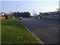
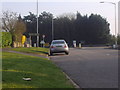
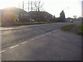
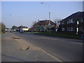
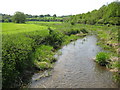
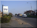
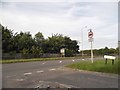

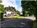
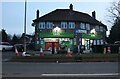
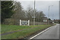
38 photos from this area
Area Information
Key information about the SL9 7AT including its size, population, and administrative classification.
- Area Type
- Postcode
- Area Size
- 8.5 hectares
- Population
- 2086
- Population Density
- 432 people/km²
House Prices in SL9 7AT
24
Properties
£486,105
Average Sold Price
£242,500
Lowest Price
£780,000
Highest Price
Showing 24 properties
| Address | Type | Beds | Baths | Last Sale Price | Last Sale Date | |
|---|---|---|---|---|---|---|
| Stabara, Oxford Road, Denham, SL9 7AT | Semi-detached | 3 | 1 | £625,000 | Aug 2025 | |
| Charnwood, Oxford Road, Denham, SL9 7AT | Semi-detached | 4 | 2 | £780,000 | Nov 2023 | |
| Medway, Oxford Road, Denham, SL9 7AT | house | 3 | 1 | £620,000 | May 2022 | |
| Landrecies, Oxford Road, Gerrards Cross, SL9 7AT | Detached | 4 | 2 | £750,000 | Dec 2020 | |
| Katrina, Oxford Road, Denham, SL9 7AT | house | - | - | £400,000 | Feb 2020 | |
| Trebarwith, Oxford Road, Denham, SL9 7AT | house | - | - | £291,666 | Jan 2020 | |
| The Gables, Oxford Road, Denham, SL9 7AT | house | - | - | £650,000 | Aug 2018 | |
| Mayfair, Oxford Road, Denham, SL9 7AT | Detached | - | - | £400,000 | Apr 2010 | |
| St Huberts Lodge, Oxford Road, Gerrards Cross, SL9 7AT | Detached | 5 | 5 | £595,000 | Feb 2010 | |
| Pinstone Cottage, Oxford Road, Gerrards Cross, SL9 7AT | Detached | 3 | 2 | £385,000 | Oct 2008 |
Page 1 of 3
Energy Efficiency in SL9 7AT
Amenities
Schools
| Rank | School | Type | Entry gender | Ages |
|---|
Explore more schools in this area
Go to Schools tabDemographics
Household Size
Family (3-5 people)
most common
Accommodation Type
Houses
most common
Tenure
74
majority
Ethnic Group
White
most common
Religion
N/A
most common
Household Composition
N/A
most common
Age
47
median
Adults (30-64 years)
most common
Household Deprivation
N/A
with no deprivation
NS-SEC
46
in Lower managerial occupations
Explore more demographic insights in this area
Go to Demographics tabPlanning
Planning Constraints
- Flood RiskPremium
- Ramsar Wetland SitesPremium
- Area of Outstanding Natural BeautyPremium
- Protected Nature ReservePremium
- Protected WoodlandPremium