Area Overview for SL8 5UN
Photos of SL8 5UN
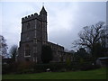
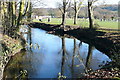
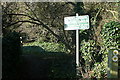
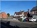
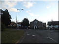
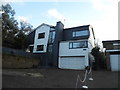
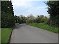
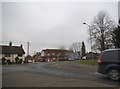
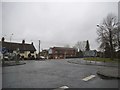
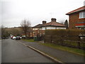
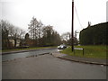
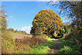
48 photos from this area
Area Information
Key information about the SL8 5UN including its size, population, and administrative classification.
- Area Type
- Postcode
- Area Size
- 9457 m²
- Population
- 1471
- Population Density
- 442 people/km²
House Prices in SL8 5UN
20
Properties
£466,559
Average Sold Price
£167,000
Lowest Price
£780,000
Highest Price
Showing 20 properties
| Address | Type | Beds | Baths | Last Sale Price | Last Sale Date | |
|---|---|---|---|---|---|---|
| 5 Millside, Bourne End, SL8 5UN | Detached | 4 | 1 | £620,000 | Jun 2024 | |
| 8 Millside, Bourne End, SL8 5UN | Detached | 4 | 1 | £575,000 | Oct 2023 | |
| 10 Millside, Bourne End, SL8 5UN | Detached | 4 | 1 | £725,000 | Feb 2022 | |
| 13 Millside, Bourne End, SL8 5UN | Detached | 4 | 1 | £590,000 | Oct 2020 | |
| 11 Millside, Bourne End, SL8 5UN | Detached | 4 | 2 | £700,000 | Nov 2018 | |
| The Birches, 3 Millside, Bourne End, SL8 5UN | Detached | 4 | 2 | £780,000 | Jul 2018 | |
| 15 Millside, Bourne End, SL8 5UN | house | 4 | - | £575,000 | Aug 2017 | |
| 19 Millside, Bourne End, SL8 5UN | house | - | - | £700,000 | Jun 2014 | |
| 2 Millside, Bourne End, SL8 5UN | Detached | 3 | 1 | £359,950 | Apr 2011 | |
| 7 Millside, Bourne End, SL8 5UN | Detached | - | - | £380,000 | Nov 2004 |
Page 1 of 2
Energy Efficiency in SL8 5UN
Amenities
Schools
| Rank | School | Type | Entry gender | Ages |
|---|
Explore more schools in this area
Go to Schools tabDemographics
Household Size
Two person
most common
Accommodation Type
Houses
most common
Tenure
75
majority
Ethnic Group
White
most common
Religion
N/A
most common
Household Composition
N/A
most common
Age
47
median
Adults (30-64 years)
most common
Household Deprivation
N/A
with no deprivation
NS-SEC
50
in Lower managerial occupations
Explore more demographic insights in this area
Go to Demographics tabPlanning
Planning Constraints
- Flood RiskPremium
- Ramsar Wetland SitesPremium
- Area of Outstanding Natural BeautyPremium
- Protected Nature ReservePremium
- Protected WoodlandPremium