Area Overview for SL8 5BX
Photos of SL8 5BX
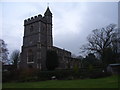
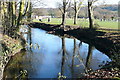
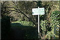
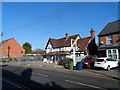
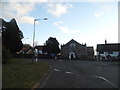
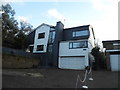
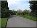
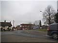
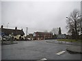
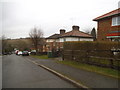
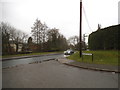
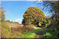
48 photos from this area
Area Information
Key information about the SL8 5BX including its size, population, and administrative classification.
- Area Type
- Postcode
- Area Size
- 10.9 hectares
- Population
- 1531
- Population Density
- 2540 people/km²
House Prices in SL8 5BX
25
Properties
£337,227
Average Sold Price
£119,950
Lowest Price
£725,000
Highest Price
Showing 25 properties
| Address | Type | Beds | Baths | Last Sale Price | Last Sale Date | |
|---|---|---|---|---|---|---|
| 1 East Ridge, Bourne End, SL8 5BX | Bungalow | 3 | 1 | £675,000 | Apr 2023 | |
| 11 East Ridge, Bourne End, SL8 5BX | Bungalow | - | - | £490,000 | Apr 2021 | |
| 10 East Ridge, Bourne End, SL8 5BX | house | - | - | £725,000 | Jan 2021 | |
| 9 East Ridge, Bourne End, SL8 5BX | house | - | - | £555,000 | May 2016 | |
| 5 East Ridge, Bourne End, SL8 5BX | Bungalow | - | - | £335,000 | Nov 2014 | |
| 19 East Ridge, Bourne End, SL8 5BX | Semi-detached | - | - | £295,000 | Jun 2005 | |
| 10A East Ridge, Bourne End, SL8 5BX | Semi-detached | 3 | 1 | £145,000 | Mar 2004 | |
| 17 East Ridge, Bourne End, SL8 5BX | Semi-detached | - | - | £225,000 | Nov 2002 | |
| 20 East Ridge, Bourne End, SL8 5BX | Semi-detached | - | - | £226,000 | Jun 2002 | |
| 18 East Ridge, Bourne End, SL8 5BX | Semi-detached | - | - | £189,000 | May 2002 |
Page 1 of 3
Energy Efficiency in SL8 5BX
Amenities
Schools
| Rank | School | Type | Entry gender | Ages |
|---|
Explore more schools in this area
Go to Schools tabDemographics
Household Size
Family (3-5 people)
most common
Accommodation Type
Houses
most common
Tenure
54
majority
Ethnic Group
White
most common
Religion
N/A
most common
Household Composition
N/A
most common
Age
47
median
Adults (30-64 years)
most common
Household Deprivation
N/A
with no deprivation
NS-SEC
35
in Lower managerial occupations
Explore more demographic insights in this area
Go to Demographics tabPlanning
Planning Constraints
- Flood RiskPremium
- Ramsar Wetland SitesPremium
- Area of Outstanding Natural BeautyPremium
- Protected Nature ReservePremium
- Protected WoodlandPremium