Area Overview for SL8 5BQ
Photos of SL8 5BQ
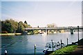
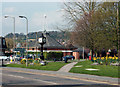
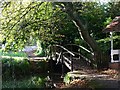
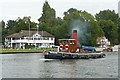
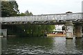
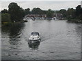
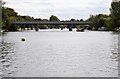
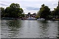
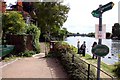
100 photos from this area
Area Information
Key information about the SL8 5BQ including its size, population, and administrative classification.
- Area Type
- Postcode
- Area Size
- 9663 m²
- Population
- 1664
- Population Density
- 2390 people/km²
House Prices in SL8 5BQ
14
Properties
£425,083
Average Sold Price
£199,950
Lowest Price
£750,000
Highest Price
Showing 14 properties
| Address | Type | Beds | Baths | Last Sale Price | Last Sale Date | |
|---|---|---|---|---|---|---|
| 7 New Road, Bourne End, SL8 5BQ | house | - | - | £750,000 | Sep 2021 | |
| 1A New Road, Bourne End, SL8 5BQ | house | - | - | £487,500 | Jun 2021 | |
| 15 New Road, Bourne End, SL8 5BQ | Bungalow | - | - | £487,000 | Jan 2018 | |
| 23 New Road, Bourne End, SL8 5BQ | Bungalow | - | - | £651,300 | Jun 2017 | |
| 11A New Road, Bourne End, SL8 5BQ | Bungalow | - | - | £390,000 | Sep 2013 | |
| 17 New Road, Bourne End, SL8 5BQ | Bungalow | 4 | 2 | £390,000 | Aug 2013 | |
| 19 New Road, Bourne End, SL8 5BQ | Bungalow | - | - | £347,500 | Jan 2013 | |
| 11 New Road, Bourne End, SL8 5BQ | Chalet | 4 | 2 | £437,750 | Jun 2012 | |
| 9 New Road, Bourne End, SL8 5BQ | Bungalow | 4 | - | £410,000 | May 2011 | |
| 13 New Road, Bourne End, SL8 5BQ | Bungalow | 3 | - | £345,000 | Oct 2010 |
Page 1 of 2
Energy Efficiency in SL8 5BQ
Amenities
Schools
| Rank | School | Type | Entry gender | Ages |
|---|
Explore more schools in this area
Go to Schools tabDemographics
Household Size
Two person
most common
Accommodation Type
Houses
most common
Tenure
75
majority
Ethnic Group
White
most common
Religion
N/A
most common
Household Composition
N/A
most common
Age
47
median
Adults (30-64 years)
most common
Household Deprivation
N/A
with no deprivation
NS-SEC
52
in Lower managerial occupations
Explore more demographic insights in this area
Go to Demographics tabPlanning
Planning Constraints
- Flood RiskPremium
- Ramsar Wetland SitesPremium
- Area of Outstanding Natural BeautyPremium
- Protected Nature ReservePremium
- Protected WoodlandPremium