Area Overview for SL7 3HU
Photos of SL7 3HU
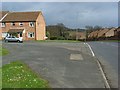
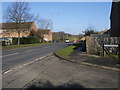
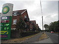
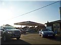
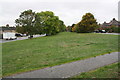
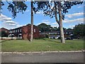
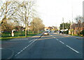
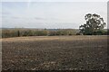
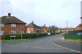
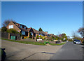
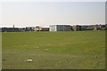
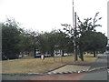
25 photos from this area
Area Information
Key information about the SL7 3HU including its size, population, and administrative classification.
- Area Type
- Postcode
- Area Size
- 2189 m²
- Population
- 1431
- Population Density
- 4052 people/km²
House Prices in SL7 3HU
13
Properties
£417,675
Average Sold Price
£275,000
Lowest Price
£522,000
Highest Price
Showing 13 properties
| Address | Type | Beds | Baths | Last Sale Price | Last Sale Date | |
|---|---|---|---|---|---|---|
| 10 Wycombe Road, Marlow, SL7 3HU | Cottage | 2 | 1 | £439,750 | Dec 2025 | |
| 8 Wycombe Road, Marlow, SL7 3HU | Terraced | 2 | 1 | £480,000 | Feb 2025 | |
| 6 Wycombe Road, Marlow, SL7 3HU | Terraced | 2 | 1 | £522,000 | Aug 2024 | |
| 14 Wycombe Road, Marlow, SL7 3HU | Terraced | 3 | 2 | £512,000 | Jun 2023 | |
| 16 Wycombe Road, Marlow, SL7 3HU | house | 2 | 1 | £467,500 | Nov 2022 | |
| 26 Wycombe Road, Marlow, SL7 3HU | house | - | - | £470,000 | Aug 2016 | |
| 28 Wycombe Road, Marlow, SL7 3HU | house | - | - | £370,000 | Aug 2016 | |
| 24 Wycombe Road, Marlow, SL7 3HU | Terraced | 2 | 1 | £345,500 | Dec 2014 | |
| 22 Wycombe Road, Marlow, SL7 3HU | house | - | - | £275,000 | Aug 2011 | |
| 12 Wycombe Road, Marlow, SL7 3HU | Terraced | - | - | £295,000 | Sep 2007 |
Page 1 of 2
Energy Efficiency in SL7 3HU
Amenities
Schools
| Rank | School | Type | Entry gender | Ages |
|---|
Explore more schools in this area
Go to Schools tabDemographics
Household Size
Two person
most common
Accommodation Type
Houses
most common
Tenure
81
majority
Ethnic Group
White
most common
Religion
N/A
most common
Household Composition
N/A
most common
Age
47
median
Adults (30-64 years)
most common
Household Deprivation
N/A
with no deprivation
NS-SEC
50
in Lower managerial occupations
Explore more demographic insights in this area
Go to Demographics tabPlanning
Planning Constraints
- Flood RiskPremium
- Ramsar Wetland SitesPremium
- Area of Outstanding Natural BeautyPremium
- Protected Nature ReservePremium
- Protected WoodlandPremium