Area Overview for SL7 2QG
Photos of SL7 2QG
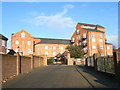
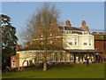
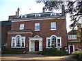
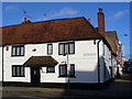
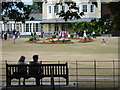
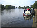
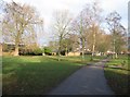

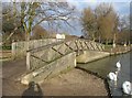
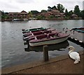
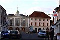
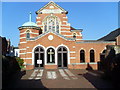
100 photos from this area
Area Information
Key information about the SL7 2QG including its size, population, and administrative classification.
- Area Type
- Postcode
- Area Size
- 4755 m²
- Population
- 1758
- Population Density
- 4384 people/km²
House Prices in SL7 2QG
31
Properties
£446,283
Average Sold Price
£165,000
Lowest Price
£793,000
Highest Price
Showing 31 properties
| Address | Type | Beds | Baths | Last Sale Price | Last Sale Date | |
|---|---|---|---|---|---|---|
| 76 Crown Road, Marlow, SL7 2QG | Semi-detached | 2 | 1 | £793,000 | Dec 2024 | |
| 50 Crown Road, Marlow, SL7 2QG | Semi-detached | 2 | 1 | £585,000 | Sep 2024 | |
| 46 Crown Road, Marlow, SL7 2QG | Semi-detached | 2 | 2 | £675,000 | Dec 2023 | |
| 70 Crown Road, Marlow, SL7 2QG | house | - | - | £620,000 | Nov 2023 | |
| 54 Crown Road, Marlow, SL7 2QG | Terraced | 2 | 2 | £500,000 | Jun 2021 | |
| 58 Crown Road, Marlow, SL7 2QG | Semi-detached | 2 | 1 | £540,000 | Dec 2020 | |
| 24 Crown Road, Marlow, SL7 2QG | Semi-detached | 3 | 1 | £515,000 | Nov 2020 | |
| 40 Crown Road, Marlow, SL7 2QG | Terraced | 1 | 1 | £592,500 | Feb 2019 | |
| 82 Crown Road, Marlow, SL7 2QG | Terraced | 4 | 1 | £735,000 | Oct 2017 | |
| 48 Crown Road, Marlow, SL7 2QG | Semi-detached | 2 | 1 | £580,000 | Aug 2016 |
Page 1 of 4
Energy Efficiency in SL7 2QG
Amenities
Schools
| Rank | School | Type | Entry gender | Ages |
|---|
Explore more schools in this area
Go to Schools tabDemographics
Household Size
One person
most common
Accommodation Type
Houses
most common
Tenure
48
majority
Ethnic Group
White
most common
Religion
N/A
most common
Household Composition
N/A
most common
Age
47
median
Adults (30-64 years)
most common
Household Deprivation
N/A
with no deprivation
NS-SEC
40
in Lower managerial occupations
Explore more demographic insights in this area
Go to Demographics tabPlanning
Planning Constraints
- Flood RiskPremium
- Ramsar Wetland SitesPremium
- Area of Outstanding Natural BeautyPremium
- Protected Nature ReservePremium
- Protected WoodlandPremium