Area Overview for SL7 2BS
Photos of SL7 2BS
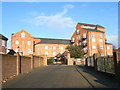
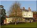
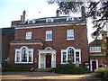
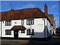
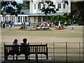
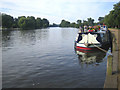
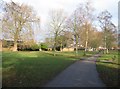
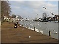
100 photos from this area
Area Information
Key information about the SL7 2BS including its size, population, and administrative classification.
- Area Type
- Postcode
- Area Size
- 2.2 hectares
- Population
- 1593
- Population Density
- 947 people/km²
House Prices in SL7 2BS
17
Properties
£1,190,000
Average Sold Price
£310,000
Lowest Price
£2,750,000
Highest Price
Showing 17 properties
| Address | Type | Beds | Baths | Last Sale Price | Last Sale Date | |
|---|---|---|---|---|---|---|
| The Coach House, 85 West Street, Marlow, SL7 2BS | house | - | - | £2,140,000 | Feb 2025 | |
| 75 West Street, Marlow, SL7 2BS | house | 3 | - | £950,000 | May 2024 | |
| Little Westerns, West Street, Marlow, SL7 2BS | Retail | 4 | 3 | £1,250,000 | Oct 2022 | |
| 77 West Street, Marlow, SL7 2BS | Terraced | 3 | 1 | £607,000 | Sep 2016 | |
| Remnantz, West Street, Marlow, SL7 2BS | Detached | - | - | £2,750,000 | Apr 2007 | |
| Stratton House, West Street, Marlow, SL7 2BS | Semi-detached | - | - | £323,000 | Jun 1996 | |
| Stratton Cottage, West Street, Marlow, SL7 2BS | Detached | - | - | £310,000 | Mar 1996 | |
| Barn Cottage, West Street, Marlow, SL7 2BS | house | - | - | - | - | |
| The Garden House, West Street, Marlow, SL7 2BS | Semi-detached | 2 | 2 | - | - | |
| Flat 3, Chanters, West Street, Marlow, SL7 2BS | Flat | 2 | - | - | - |
Page 1 of 2
Energy Efficiency in SL7 2BS
Amenities
Schools
| Rank | School | Type | Entry gender | Ages |
|---|
Explore more schools in this area
Go to Schools tabDemographics
Household Size
Family (3-5 people)
most common
Accommodation Type
Houses
most common
Tenure
78
majority
Ethnic Group
White
most common
Religion
N/A
most common
Household Composition
N/A
most common
Age
47
median
Adults (30-64 years)
most common
Household Deprivation
N/A
with no deprivation
NS-SEC
55
in Lower managerial occupations
Explore more demographic insights in this area
Go to Demographics tabPlanning
Planning Constraints
- Flood RiskPremium
- Ramsar Wetland SitesPremium
- Area of Outstanding Natural BeautyPremium
- Protected Nature ReservePremium
- Protected WoodlandPremium